pizza slow (high quality)

Finally checked biking up twin peaks off my list after a friend suggested I head up via glen park instead of the usual routes. it’s the same climb (and I hate climbing) but gradual over 5 miles instead of bunched up in the last mile and a half.

then, since I was already in spandex (very rare!), I tacked on a normal bay loop for the miles

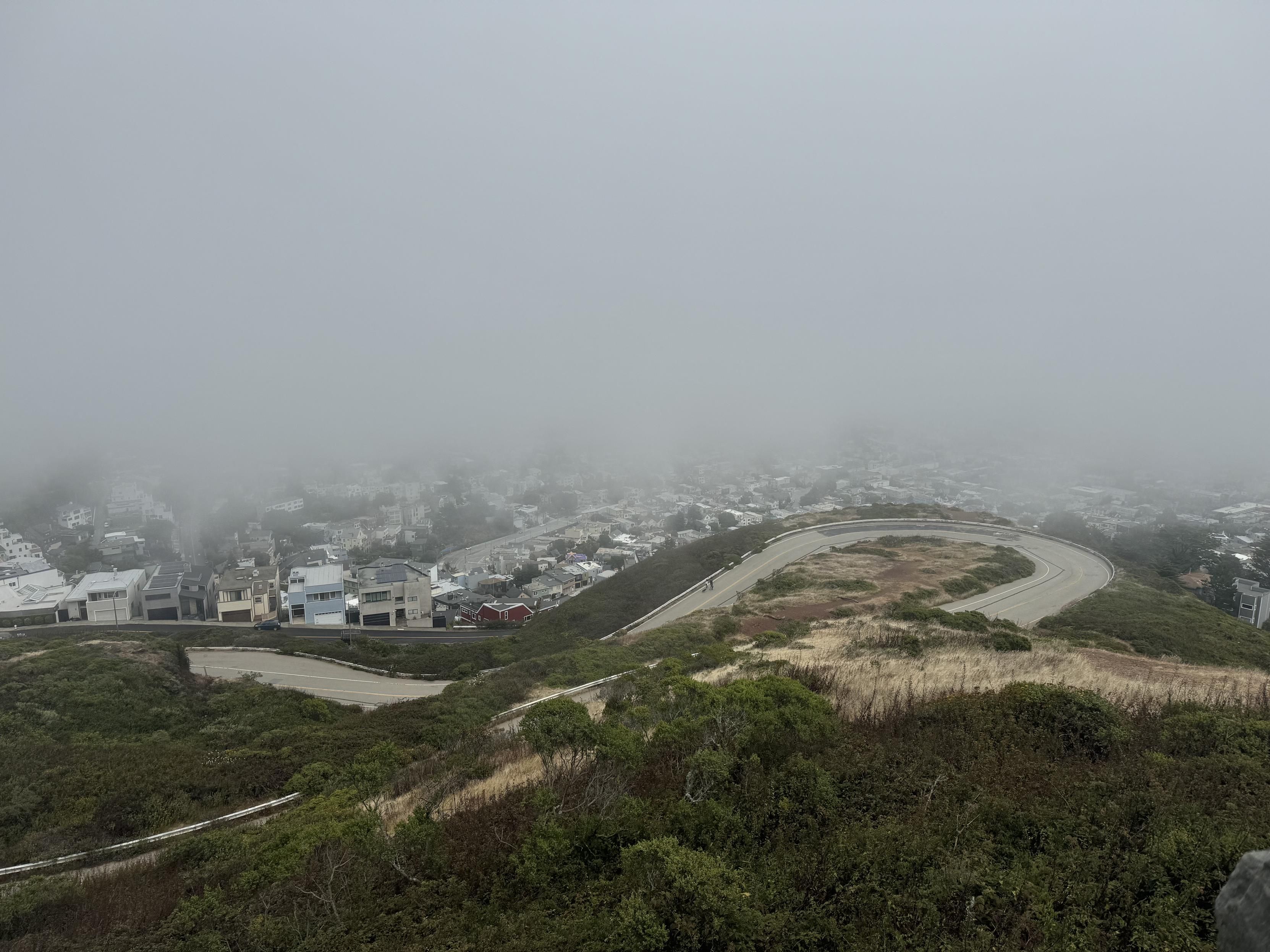
photo from Christmas Tree Point in San Francisco, looking down on a switchback of Twin Peaks Boulevard in the bottom half of the photo. The entire top half of the photo contains downtown San Francisco, in theory, but is solid gray with fog
Figure 1. photo from Christmas Tree Point in San Francisco, looking down on a switchback of Twin Peaks Boulevard in the bottom half of the photo. The entire top half of the photo contains downtown San Francisco, in theory, but is solid gray with fog.
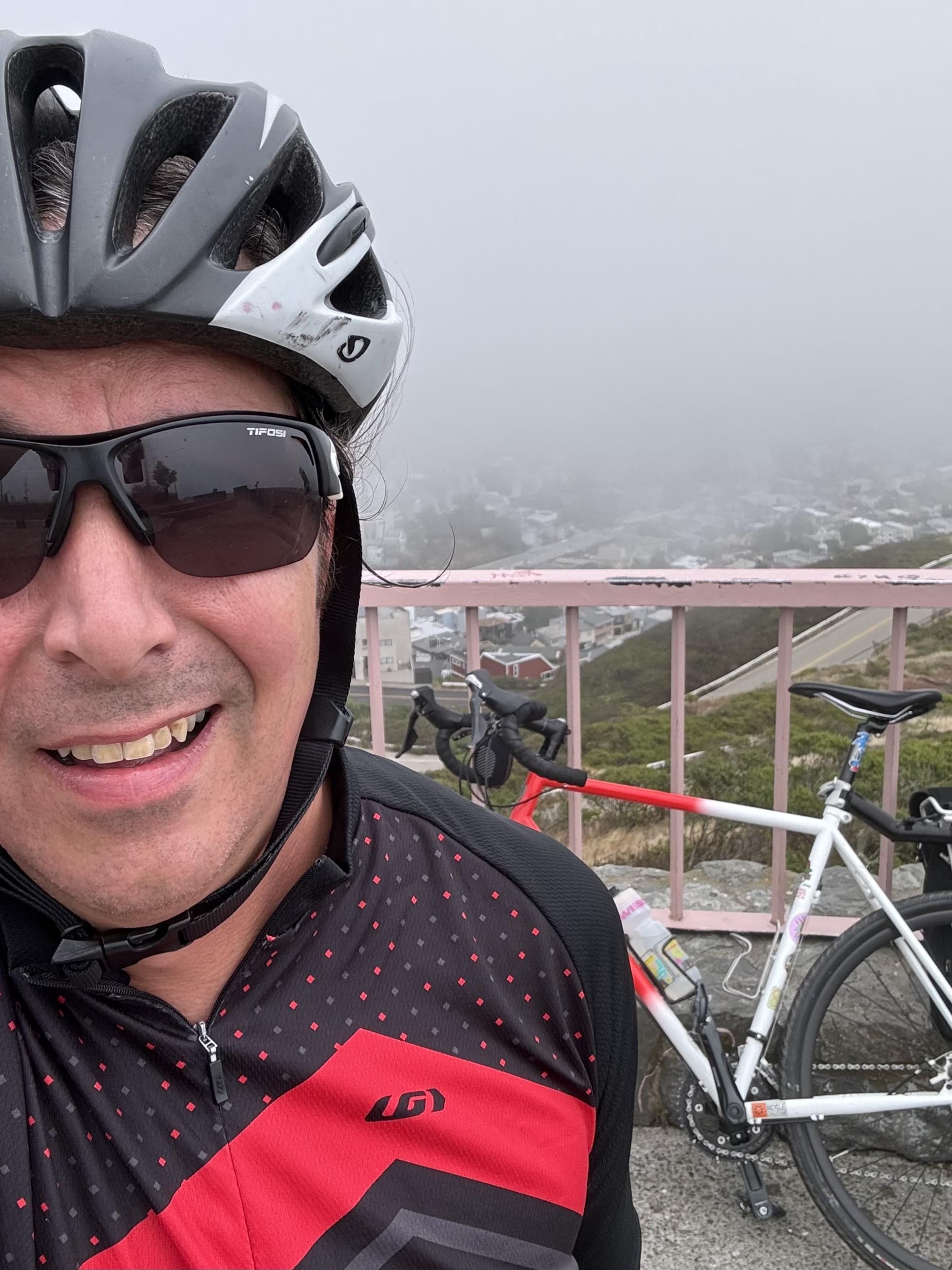
Selfie in a black and white giro helmet, transition glasses which are full tint black at this point, and a black cycling jesey with little red polka dots and a bright red zig zag across the front. My bike, a red and white gravel bike, is behind me, leaning up against the pink metal railing at Christmas Tree Point in San Francisco.
Figure 2. Selfie in a black and white giro helmet, transition glasses which are full tint black at this point, and a black cycling jesey with little red polka dots and a bright red zig zag across the front. My bike, a red and white gravel bike, is behind me, leaning up against the pink metal railing at Christmas Tree Point in San Francisco..
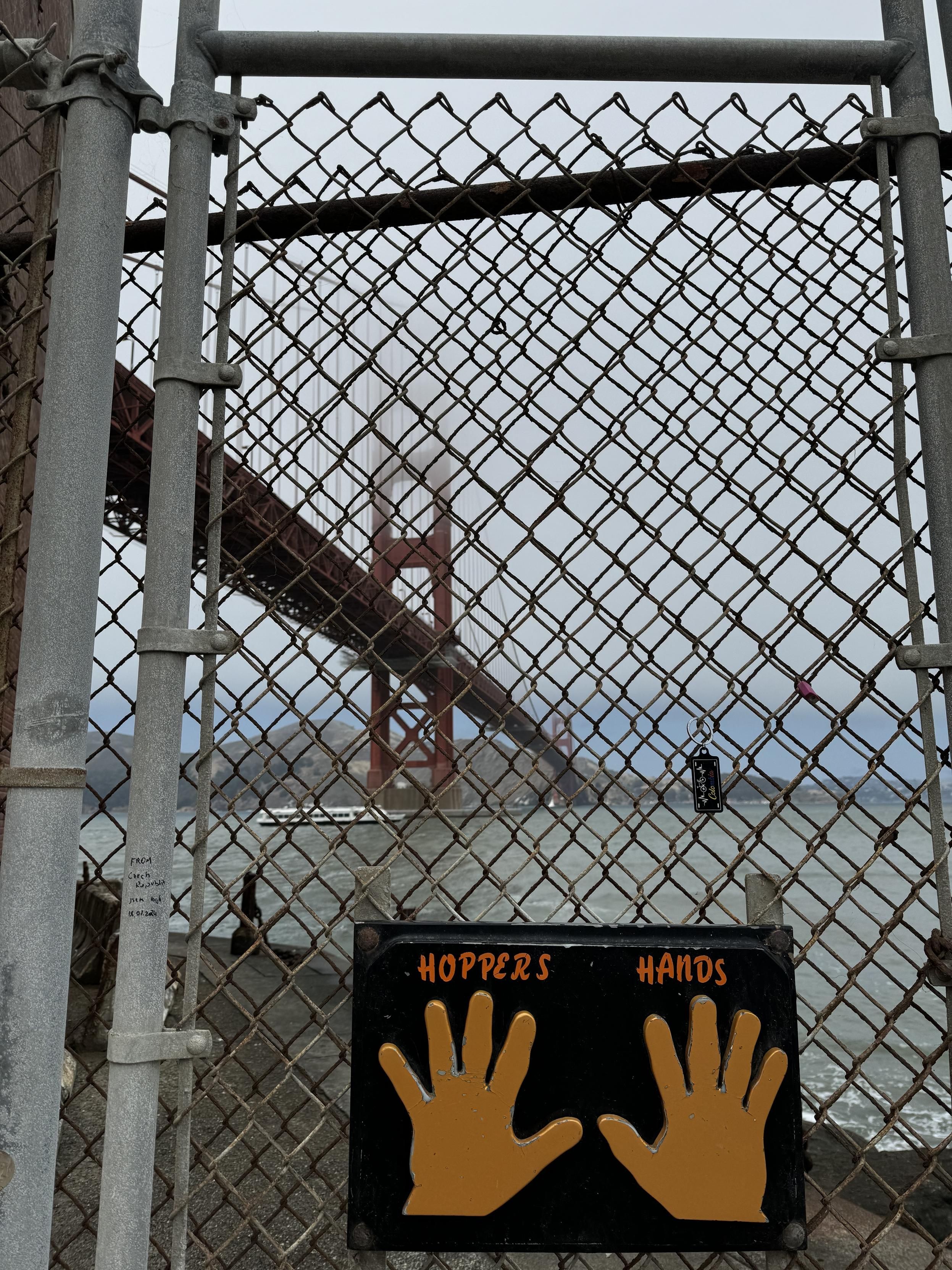
a photograph of the golden gate bridge, in san francisco, taken from below, in the parking lot of Fort Point, through a chain link fence. A black sign with yellow left and right hand prints at high-five height labeled HOPPERS HANDS is fixed to the fence as a touch point for people who walk, bike, hike, or whatever, to get here and then turn around as it is a dead end
Figure 3. a photograph of the golden gate bridge, in san francisco, taken from below, in the parking lot of Fort Point, through a chain link fence. A black sign with yellow left and right hand prints at high-five height labeled HOPPERS HANDS is fixed to the fence as a touch point for people who walk, bike, hike, or whatever, to get here and then turn around as it is a dead end.
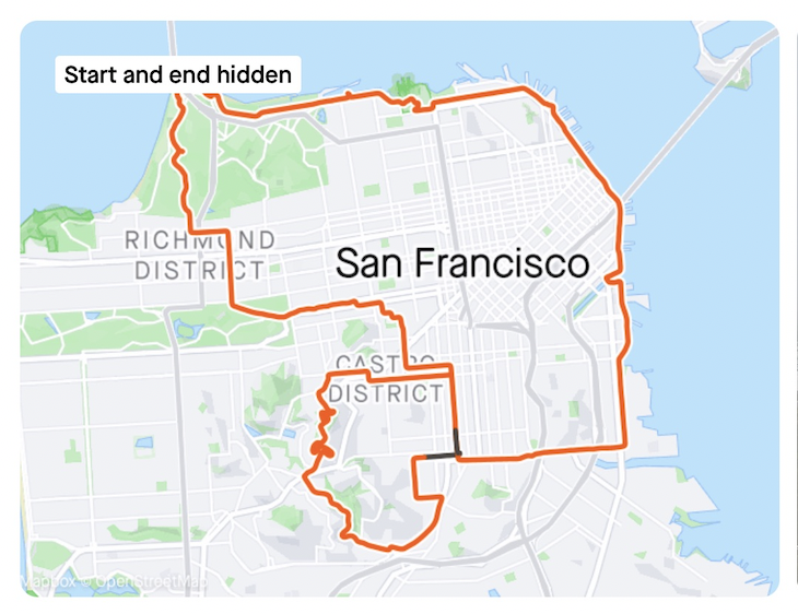
Screen shot from Strava of my route, a red line over a map of san francisco through the mission, glen canyon, twin peaks, down 17th, across cesar chavez, and up around the bay to the golden gate bridge, then returning through the presidio, golden gate park, the wiggle, to the mission
Figure 4. Screen shot from Strava of my route, a red line over a map of san francisco through the mission, glen canyon, twin peaks, down 17th, across cesar chavez, and up around the bay to the golden gate bridge, then returning through the presidio, golden gate park, the wiggle, to the mission.
Proximate posts in the Mastodon collection
newer Mastodon post from July 24, 2024, 112842229846681391 24 July 2024
this post Mastodon post from July 21, 2024, 112826828644236997 21 July 2024
older Mastodon post from July 20, 2024, 112816128344726958 20 July 2024
Proximate posts in the General collection
newer Afternoon Walk 21 July 2024
this post Mastodon post from July 21, 2024, 112826828644236997 21 July 2024
older twin peaks 🪣✅, always wanted to do that 21 July 2024