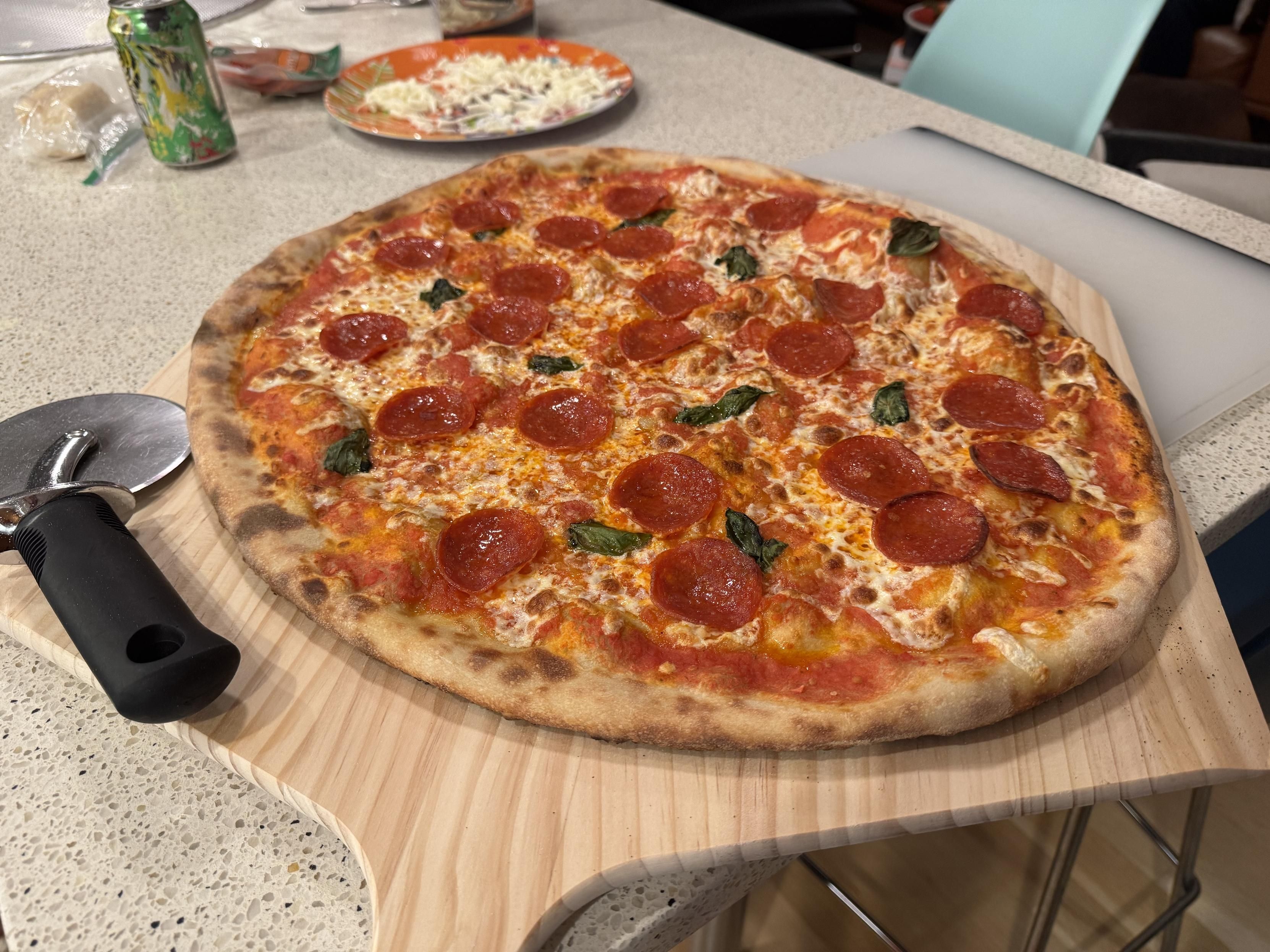
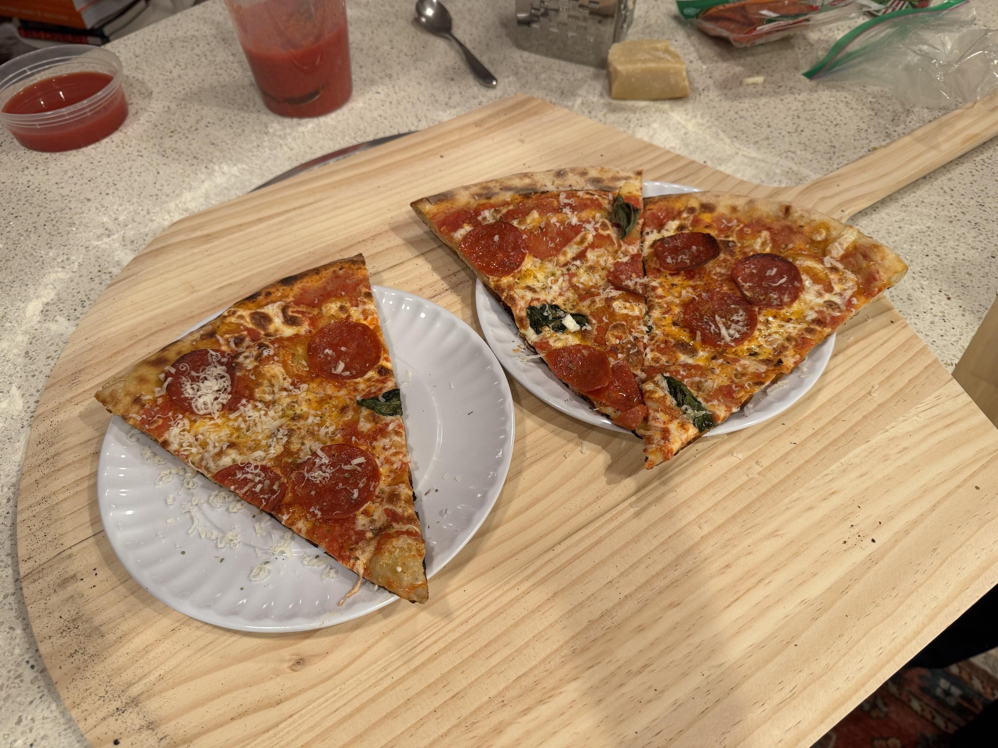
Upgraded the pizza oven to the new ‘max’ ooni, which is insanely huge, so that I could do this: make an NY style pizza with slices that are the “correct” size, and feed the family one-and-done.
throwing out the dough to 20" was easy, launching was easy, etc.
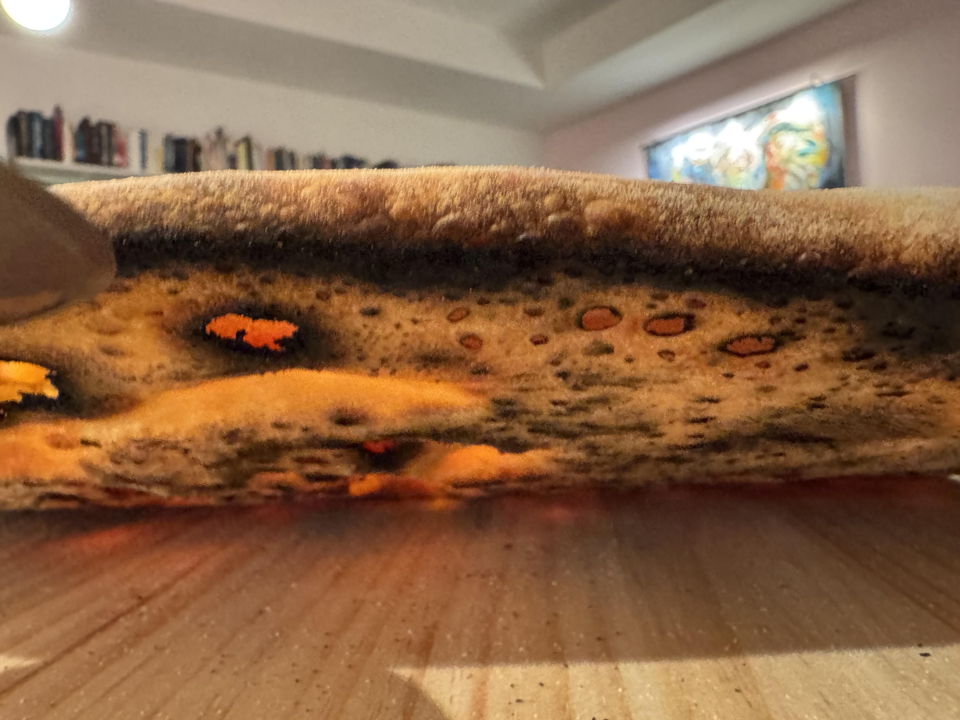
I set my expectations low but am very impressed w/ the first bake even though I dislike the dough I made, mostly nits with the fermentation, and I launched too hot
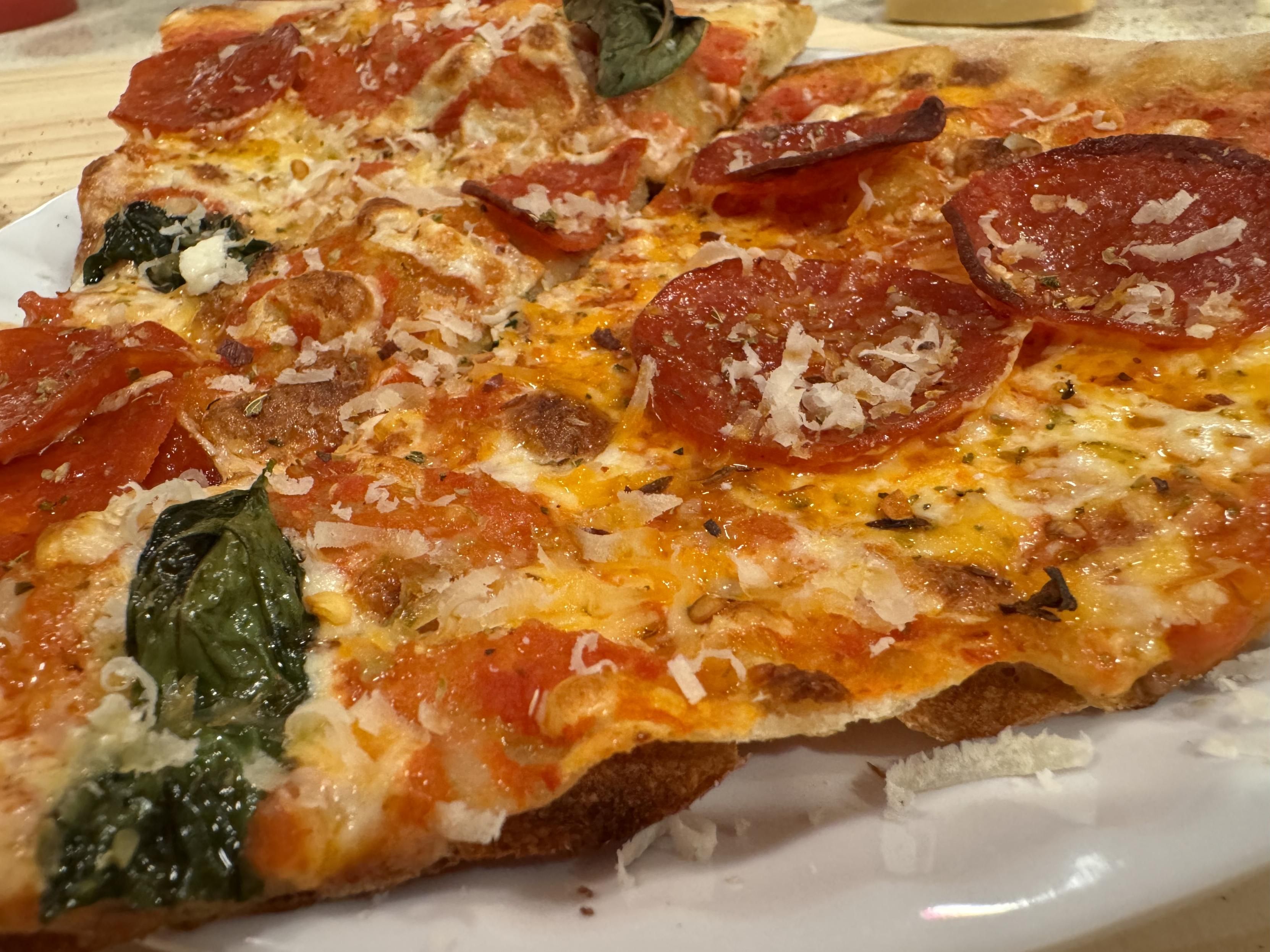
Figure 1. photograph, finished extra large new york style pizza with sauce, cheese, basil, and pepperoni on a wood peel on a counter, a pizza wheel is laying next to the pizza on the left.Figure 2. photograph of the underside of the pizza tilted up from the peel, displaying bubbles of varying sizes from very small to half an inch burst and leapoarded, larger bubbles merely lifted as cavities, w/ a near black ring around the outer edge of the crust.Figure 3. photograph of one slice on a paper plate and two slices on a second paper plate, both on the peel(the paper plates are actually melamine and we re-use them every friday for pizza night because it sets the vibes correctly).Figure 4. macro of one plated slice, finished w/ shaved parm, red pepper flakes, and oreganothe very thin crust is visibly bubbled and a burned bottom layer has pulled away from the rest of the crust in waves.
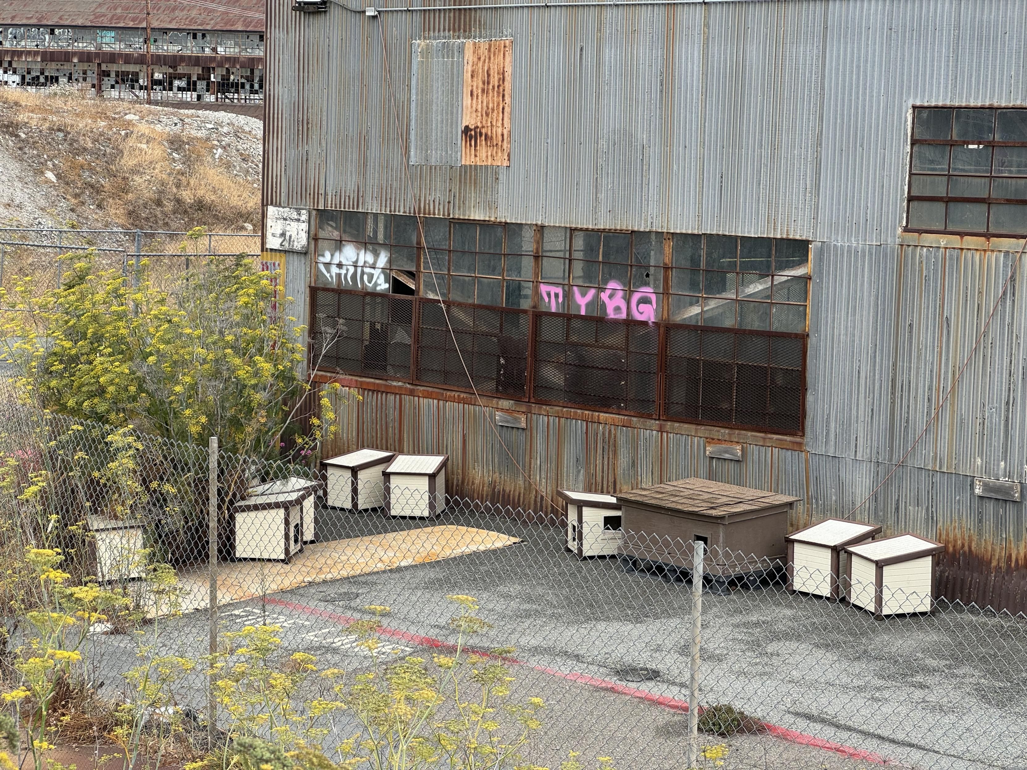
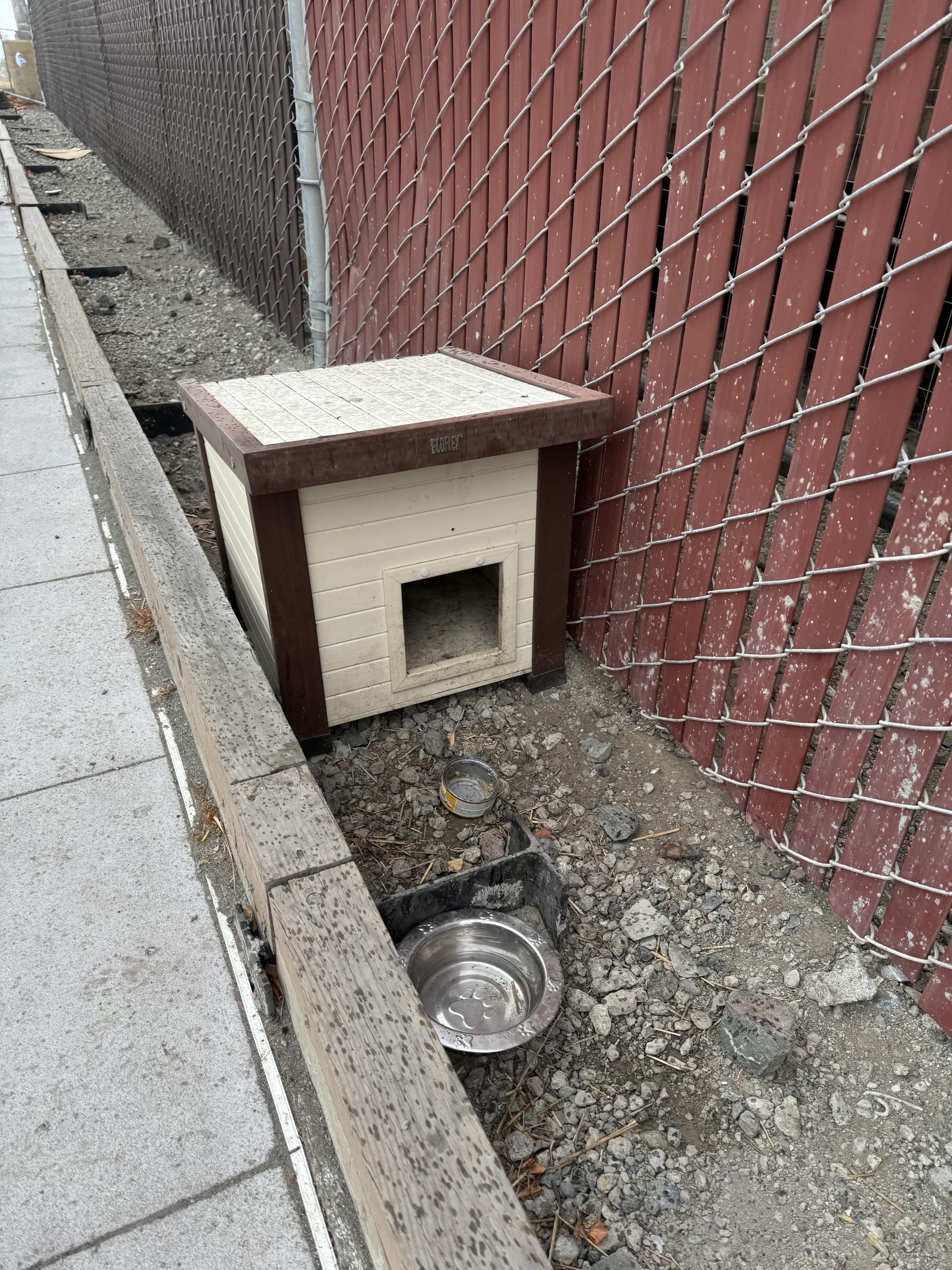
I was also surprised to find that pest control (I assume) includes cats someone or some group takes care of out there.
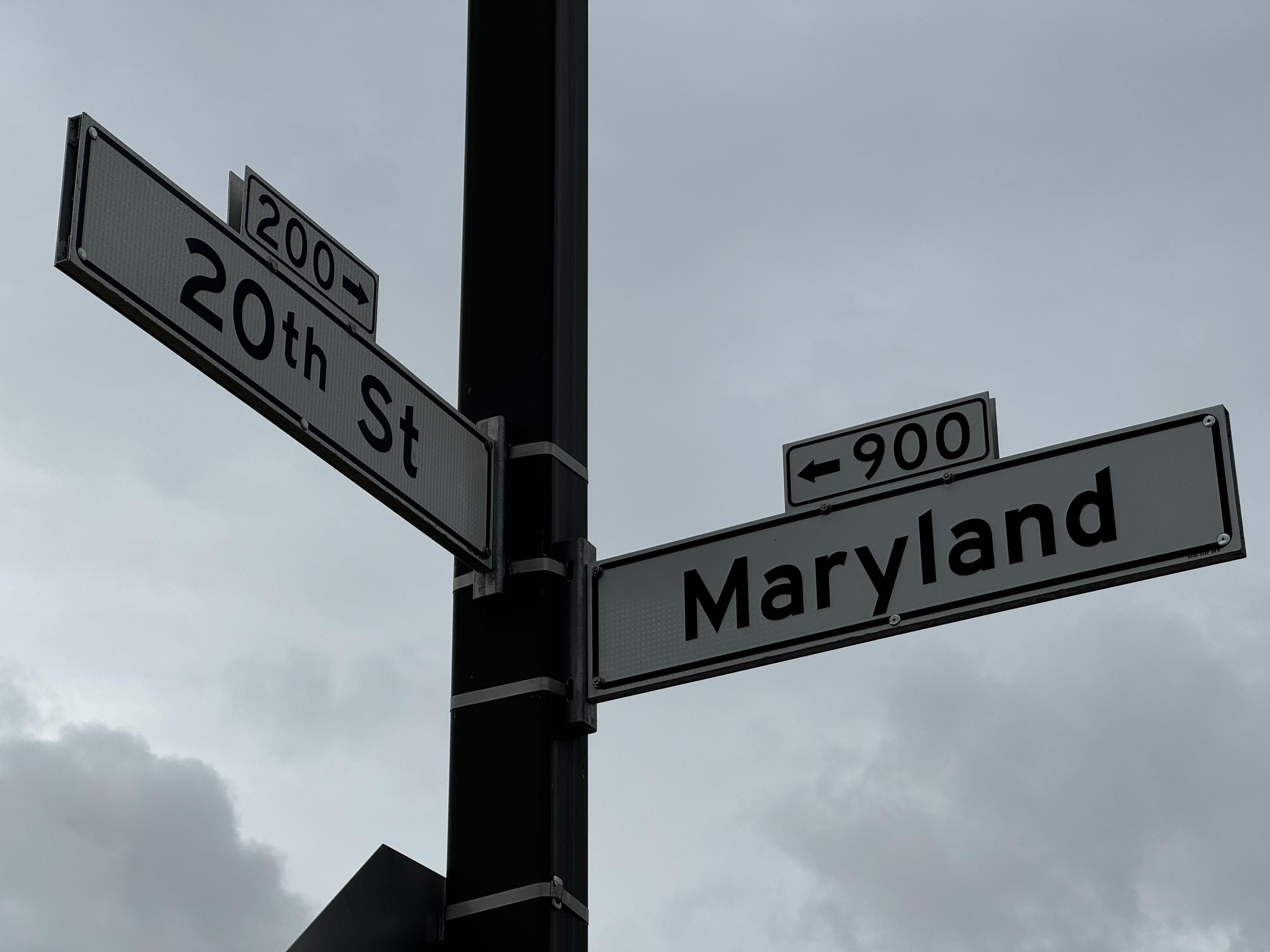
Figure 1. photograph looking up at the street signs on the corner of 20th street and Maryland street on a gray cloudy day.Figure 2. Photograph of an industrial building covered in vertically oriented corrugated steel, behind a chain link fence. Scattered between the fence and the building are half a dozen white cat houses facing various directions in no particular apparent organization.Figure 3. a closer photograph of one of the cat houses situated between a sidewalk curb and a chain link fence with narrow panels slotted through the fencing, confirmed to be a cat house by the open empty can of cat food in front of it next to an empty water bowl.
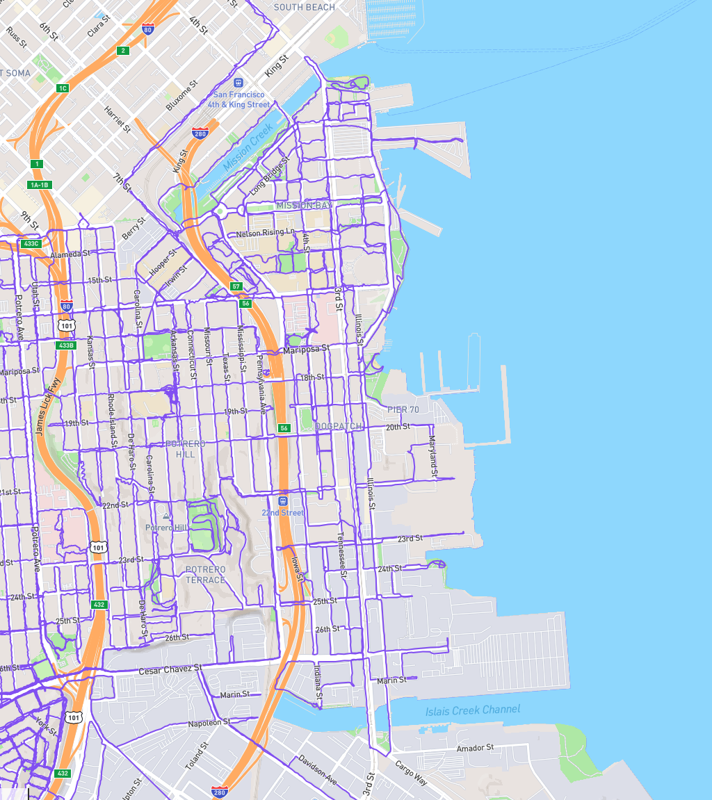
Being from Maryland, I wondered where Maryland Street, once I found, many years ago, that most of the state-named streets, are along the eastern side of the city here. Maryland St. specifically is right on the waterfront. But you can only get to a few blocks at a time between all the industry.
Figure 1. A map of San Francisco, 101 on the left, 280 in the center, soma to the top and Islay creek along the bottom. All of the visible sections of the Mission, Bernal Heights, Potrero Hill, Mission Bay, and Dogpatch streets (and most alleys but not all the weird driveways and private sections of old streets which are slowly returning) are marked with a purple trail.
Solidarity with all the parents of little kids who would be hitting their winter break stride right now if they had a moment of peace but won’t until school starts up again, ten of the longest days of the year from now, and oh btw it’s been raining the entire week
Figure 1. A map of San Francisco, California. The path of a six and three quarters mile (10 and three quarters kilometer) walk is indicated. About 13400 steps and 151 feet (46 meters) elevation over two hours, (one and three quarters hours moving).
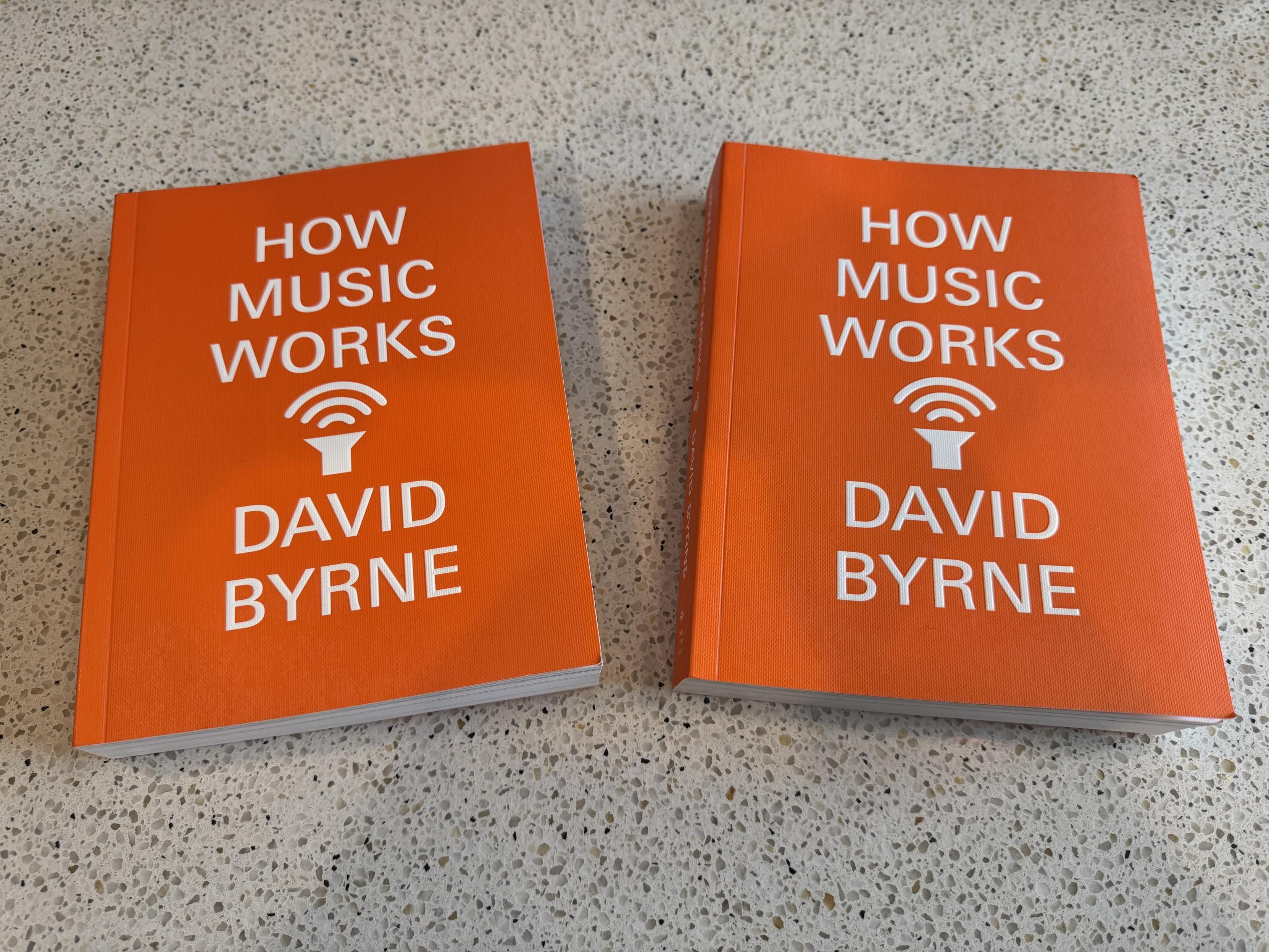
So hot on my wishlist I got it in fully modulated stereo
Figure 1. Two identical paperbacks of David Byrne’s “How Music Works”, which is bright orange with all caps grotesque title over author’s name, one word per line, with very simple sign for a speaker radiating music up at the title between the two.the books are both laying face up on my kitchen counter.HOWMUSICWORKSDAVIDBYRNE.
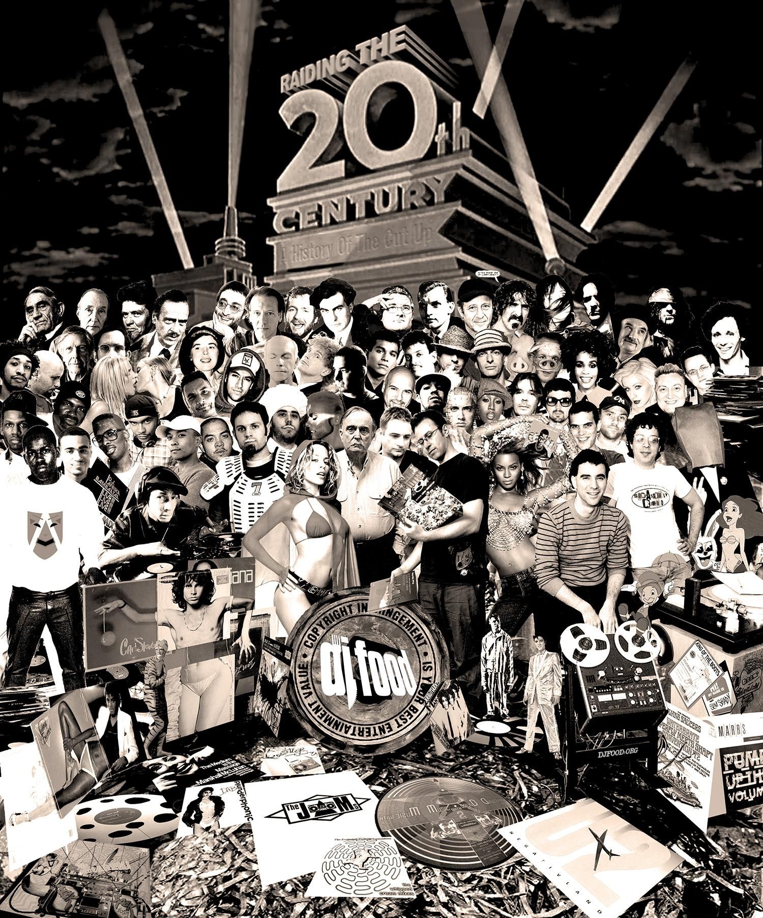
P funny going through bad twenty year old posts on my silly old website converting them to their fourth or fifth text markup language this holiday break and running into so many broken links and embeds.
onion-on-belt taboos against both hotlinking and mirroring completely made sense at the time, but, now, guess what silly, it’s all gone, we should have hard mirrored entire things we liked, if we liked them, even if only as time capsules
Figure 1. A map of San Francisco, California. The path of a five mile (eight kilometer) walk is indicated. About 10100 steps and 131 feet (40 meters) elevation over one and a quarter hours.