pizza slow (high quality)

๐Ÿšถ๐Ÿฝโ€โ™‚๏ธ

๐Ÿ what Iโ€™m considering Mission Bay and Dogpatch.

Being from Maryland, I wondered where Maryland Street, once I found, many years ago, that most of the state-named streets, are along the eastern side of the city here. Maryland St. specifically is right on the waterfront. But you can only get to a few blocks at a time between all the industry.

A map of San Francisco, 101 on the left, 280 in the center, soma to the top and Islay creek along the bottom. All of the visible sections of the Mission, Bernal Heights, Potrero Hill, Mission Bay, and Dogpatch streets (and most alleys but not all the weird driveways and private sections of old streets which are slowly returning) are marked with a purple trail.
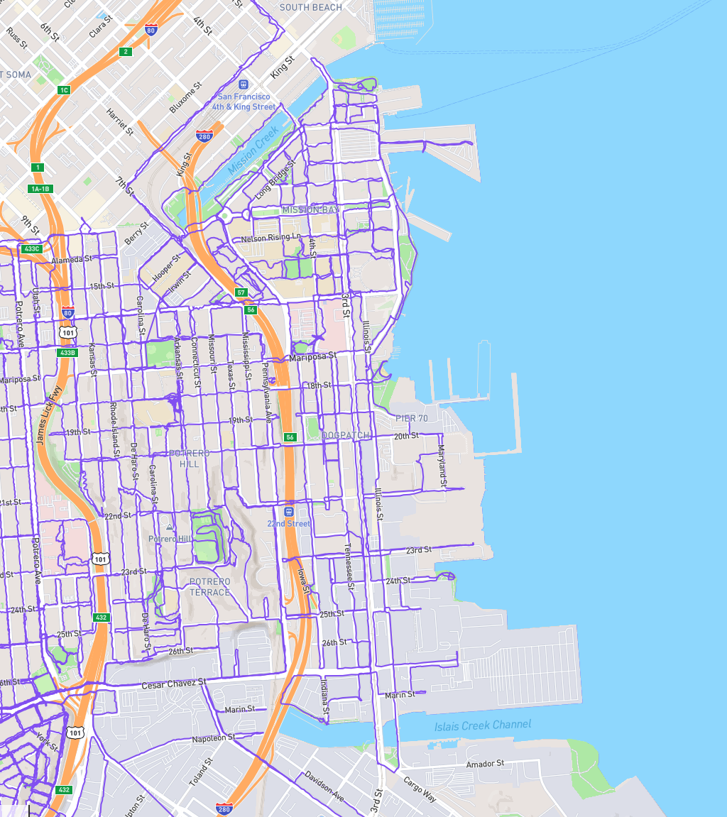
Figure 1. A map of San Francisco, 101 on the left, 280 in the center, soma to the top and Islay creek along the bottom. All of the visible sections of the Mission, Bernal Heights, Potrero Hill, Mission Bay, and Dogpatch streets (and most alleys but not all the weird driveways and private sections of old streets which are slowly returning) are marked with a purple trail..
Proximate posts in the Mastodon collection
newer Mastodon post from December 27, 2024, 113727463286164099 27 December 2024
this post Mastodon post from December 27, 2024, 113727415048620788 27 December 2024
older Mastodon post from December 27, 2024, 113727385272933513 27 December 2024
Proximate posts in the General collection
newer Mastodon post from December 27, 2024, 113727463286164099 27 December 2024
this post Mastodon post from December 27, 2024, 113727415048620788 27 December 2024
older Mastodon post from December 27, 2024, 113727385272933513 27 December 2024