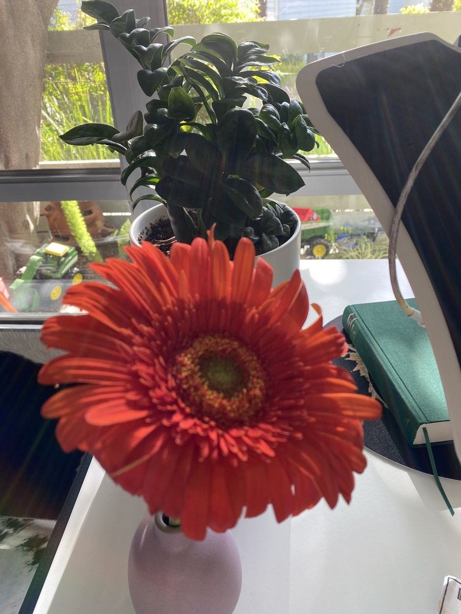
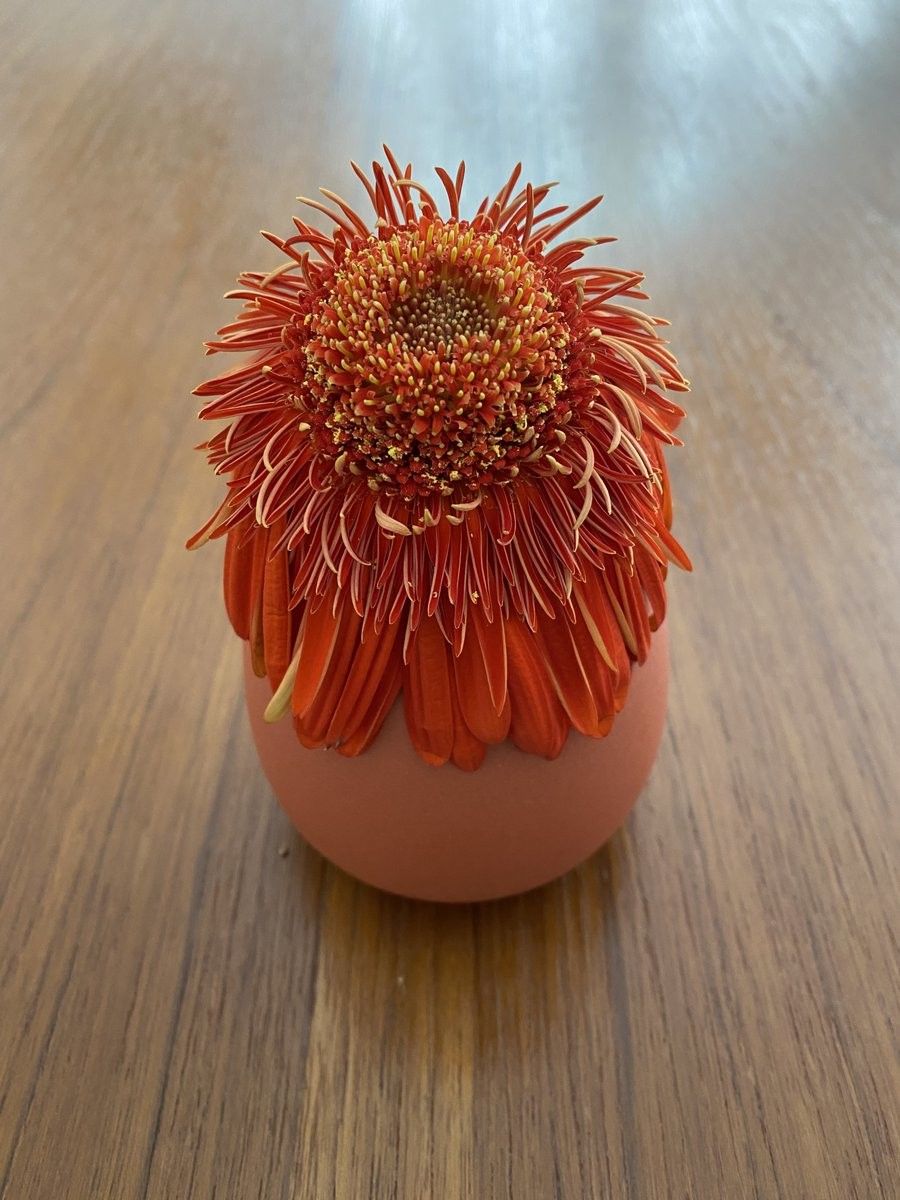
One cut flower (long stem) got enough water, the other (short stem) did not, same size vase.
One misspelling in every post, that’s the gravely garuntee
In which Roland Barthes has bad opinions about The Brittish Bake Off’s Showstopper round, what a low down bummer
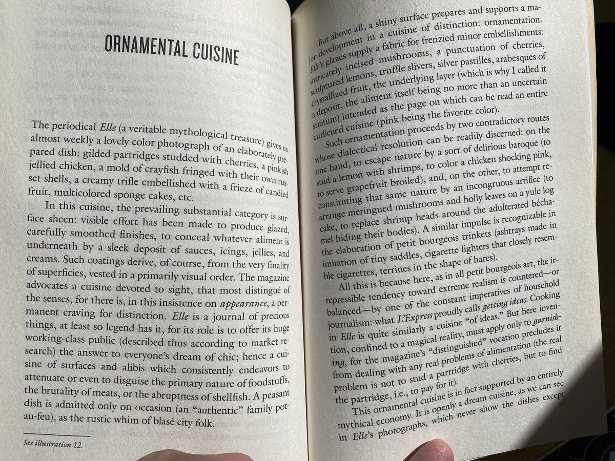
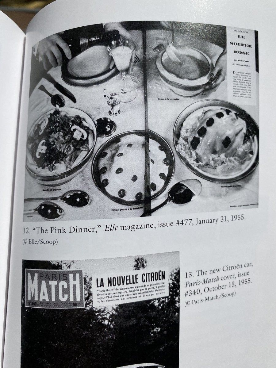
Incredible duck-rabbit phrasing here
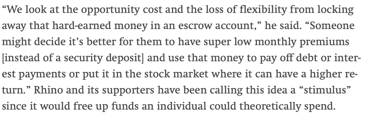
who is “someone”
who is “they”
whose “hard-earned” money?
if every example use is a return to capital, how are any “stimulus”
🐍🐀
https://twitter.com/search?q=sayrhino&src=typed_query
Tfw the invisible hand isn’t simply your own hand, made invisible to others (simpletons, rubes, the undeserving, etc) by your innate confidence and cunning, like it was in every previous situation
Lemon-line emotive forces shape the gestalt of the brand identity
Ah, people sure do seem to be talking about things lately
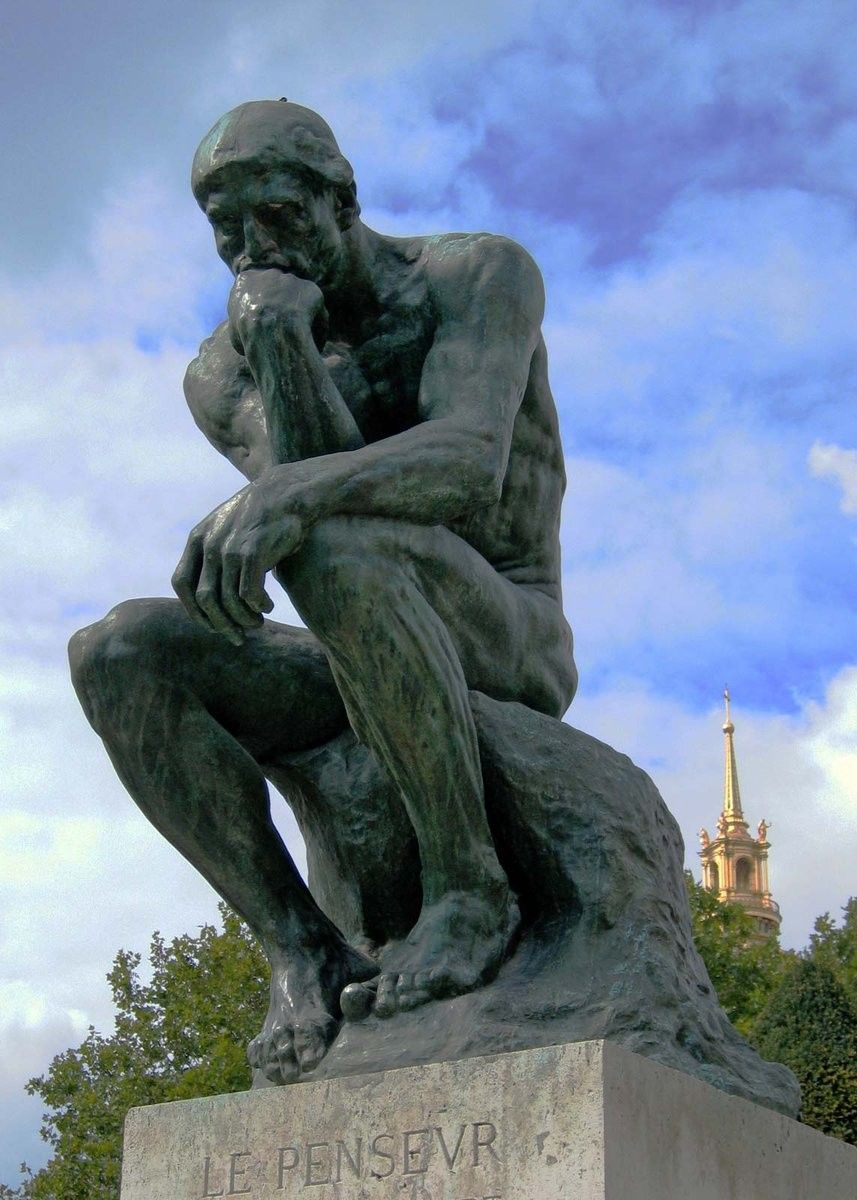
luckily, being a thinker, i can simply wade into this discussion with a dictionary, my rationality, and a few handy first principles
other people’s priors and theories are simply bias, ideology, things of that nature
Finished left wing communism https://www.marxists.org/archive/lenin/works/1920/lwc/ over the weekend, lotta fourth wall stuff outta Lenin in this one, by which I mean he could have added “and that goes for you, in the present, now, too. jerk.” to a few bits
“Left-Wing” Communism: an Infantile Disordermarxists.org (opens in a new tab)I give it four stars, it could have been shorter!
phrasemongering is such a cool word though though
Unix Mercenary, LLC
justice.gov (opens in a new tab)