Figure 1. A map of San Francisco, California. The path of a four and a half mile (seven and a quarter kilometer) walk is indicated. About 8900 steps and 620 feet (189 meters) elevation over one and a half hours.
A friend not on fedi turned me on to “A History of Rock Music in 500 Songs" yesterday. I just enjoyed the first four episodes or so and it’s excellent https://500songs.com
Figure 1. A map of San Francisco, California. The path of a three and a quarter mile (five and a quarter kilometer) walk is indicated. About 6600 steps and 472 feet (144 meters) elevation over one hour.
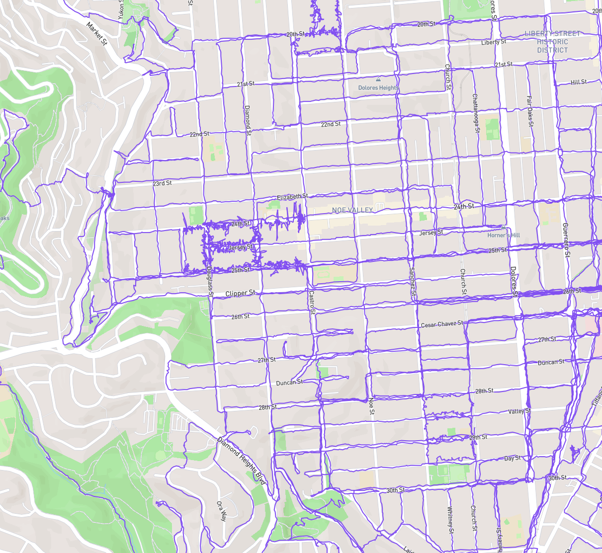
I wanted to make a goal for myself, so I started adjusting where I went so that I can have walked every street b/w 20th, valencia, 30th, and market (but not market).
The last few walks have been weirdo routes to tag dead end streets and main drags.
I had intended to finish tonight but I was too hungry for the last few blocks of Noe.
Figure 1. A street map of San Francisco’s Noe Valley, Dolores Heights, Liberty Hill, and bits of Bernal Heights, Glen Park, and Twin Peaks, with purple pathing lines on nearly every street in the area b/w 20th, valencia, 30th, and market (but not market). cropped to not completely dox myself.
Figure 1. A map of San Francisco, California. The path of a six and a half mile (10 and a half kilometer) walk is indicated. About 12900 steps and 1240 feet (378 meters) elevation over two hours.
Figure 1. A map of San Francisco, California. The path of an eight and three quarters mile (14 kilometer) walk is indicated. About 17400 steps and 1539 feet (469 meters) elevation over three hours, (two and three quarters hours moving).
Becoming a neighborhood completionist and choosing routes that check off dead ends
Figure 1. A map of San Francisco, California. The path of a four and a half mile (seven and a quarter kilometer) walk is indicated. About 9200 steps and 630 feet (192 meters) elevation over one and a quarter hours.