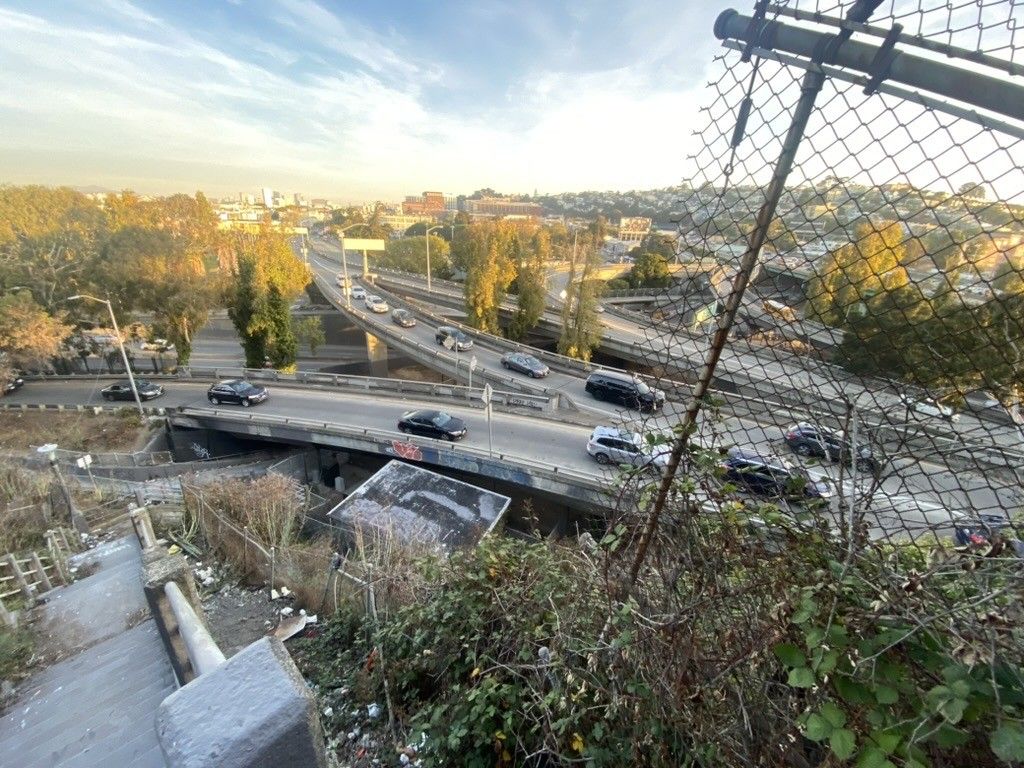
I only ever recorded these to get a distance measurement immediately after I was done and had forgotten they were recorded. there’s so much shit out there that we keep forever “for free” and I guess that’s ok but I would also be ok if we did not do this at all, it’s all so arbitrary
So I walk a few miles every morning looked for an app help me be more intentional about taking streets I’ve never taken before and was susprised when https://citystrides.com/ pulled in… every walk I’ve ever recorded in strava.
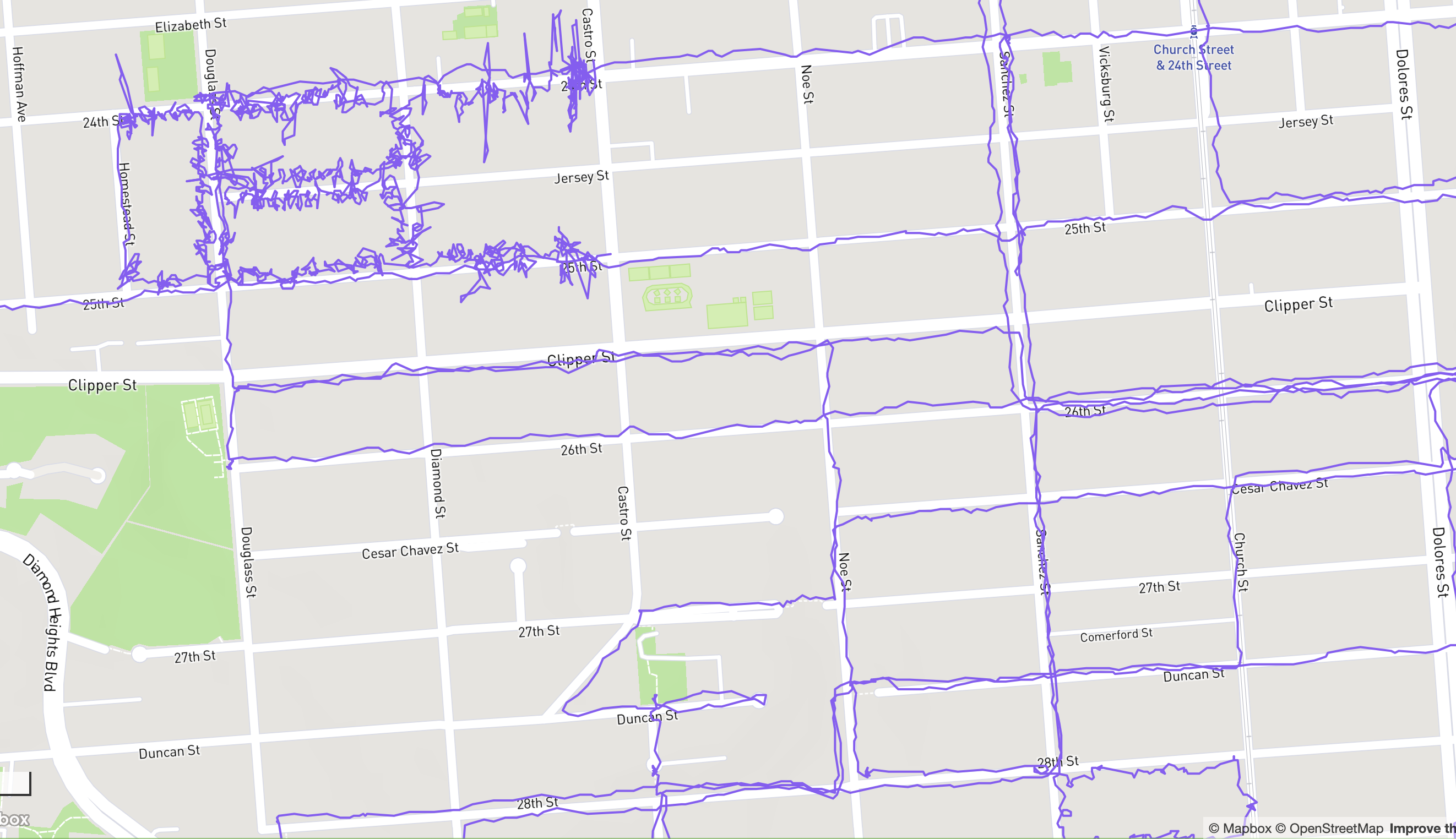
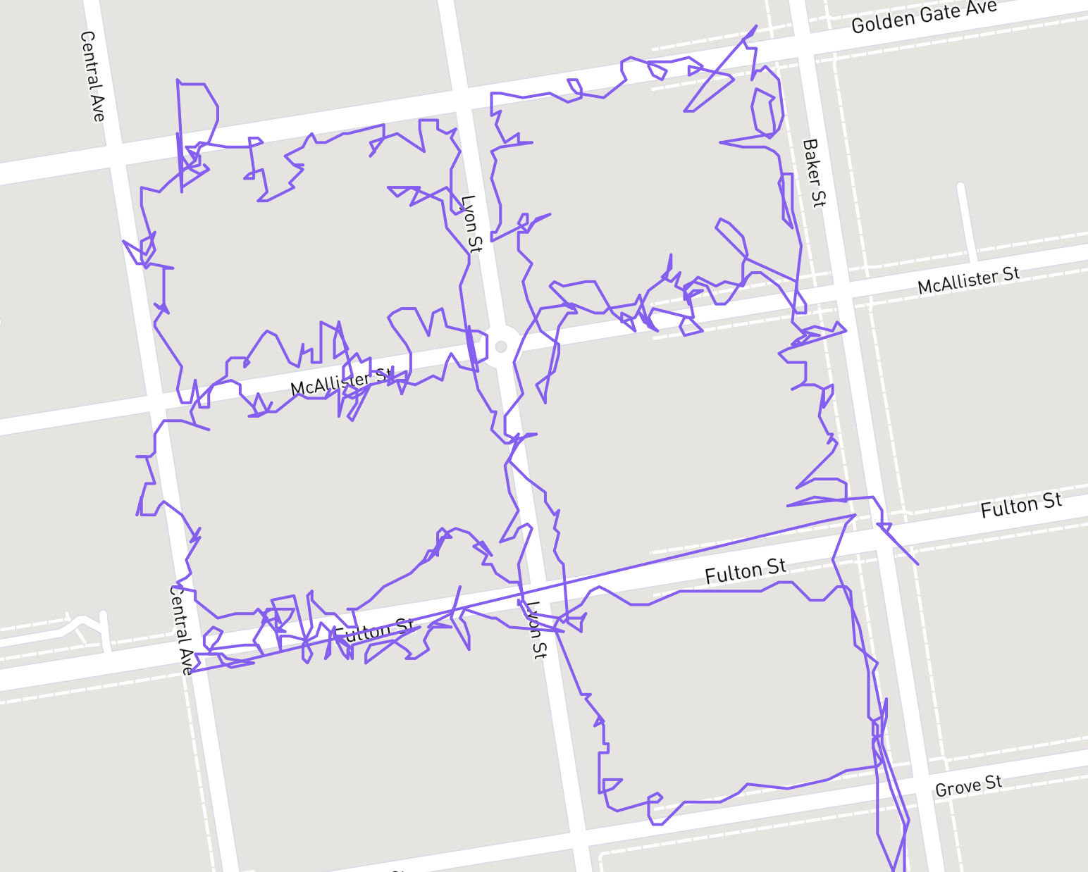
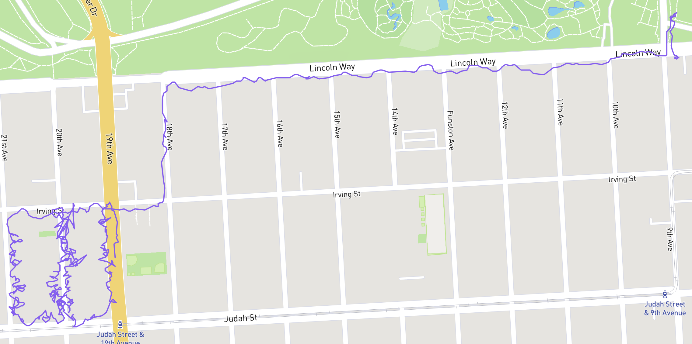
it’s neat seeing the stark difference between tight squiggles of political lit drops up and down steps from years ago (usually hanging door cards on every house doorknob on a turf of a few blocks) next to meanderings of normal walks on sidewalks
Figure 2. a street map of the southwest of noe valley with purple lines throughout from walks I’ve done in the past few months and a tightly packed bunch of walks along a few blocks in one corner where I did a lit drop like six years ago.Figure 3. a map of SF’s NoPa neighborhood with a tight four block turf of purple squiggly lines.Figure 4. a map SF’s inner sunset where I clearly walked a ways to a turf from golden gate park.
Jeeze, I guess I’s best be avoiding that fella in my business dealings [slaps open a metal ticket book, removes a bic pen, licks a finger, flips to the first empty page of an 8” x 5” legal pad, licks the pen tip, and begins writing: s, a, m, et cetera]
I normally that find perpetual schadenfreude wears pretty thin (in that it doesn’t work to make me feel any better and is eventually a real bummer. I’m glad it helps other people though.)
But this guy is just so incredibly annoying. So, sorry about that. Won’t make it a habit.
Commuting a few blocks out of my way for some (but not enough) safety delenda est
that said, this route is so much better than it used to be!
Figure 1. my commute sf bicycle network routeNorth on valenciaEast on 23rdNorth on ShotwellEast on 17thNorth on FolsomNorthwest on 5thNortheast on Marketez-mode hell zone lane split on Kearny.
I called 911 on an active fire on Osage St. (the half block west of / behind Mission St) this evening near 26th because I saw a garage door smoking in a funny way. (nobody was hurt afaik)
SFFD made from a few blocks away in about 90 seconds? It was pretty remarkable. They had to chainsaw the door off and use hoses on it.
Anyway, I’ve never done that before, nice to have on hand!
I left to meet the fam for 5pm dinner after this (DST delenda est).
The worker in charge (idk ranks) told me it smelled like paper burning and I agree. The garage was, from what i saw, mostly storage of somebody’s stuff and not actively used for parking or w/e. Sorry somebody! That stinks.
And after, just this morning, walking past Cellarmaker as they cleaned up a broken plate glass window.
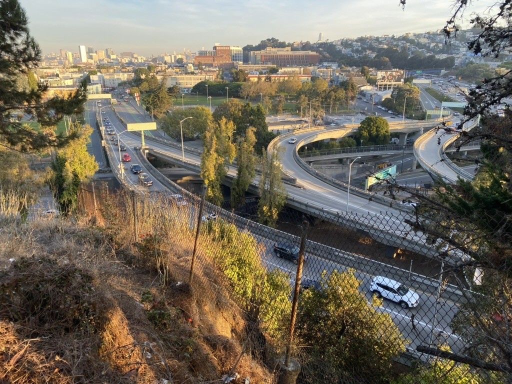
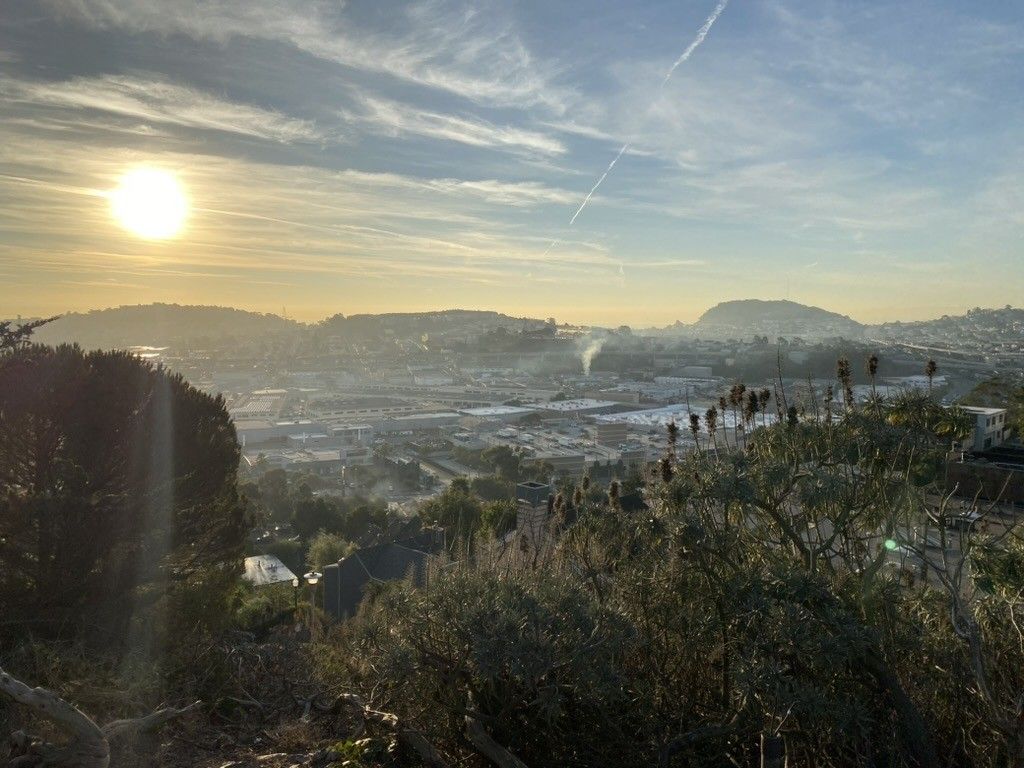
Have been going for walks every weekday morning for the past two weeks after dropping the kid off at school and following “whatever is steeper" holistic routes
Yesterday, we dropped junior off at Flynn and then climbed the steps south from Cesar Chavez near the highway and went around the east of Bernal.
It’s fun to see out parts of the city I’ve seen from afar for years, and this area specifically would make for a great new walk or two in Bakalinski’s Stairway Walks of SF
Figure 1. photo of 101 at cesar chavez, potrero ave, and bayshore blvd from the steps at peralta and holladay ave.Figure 2. photo of 101 at cesar chavez, potrero ave, and bayshore blvd from holladay ave.Figure 3. Looking east over bayshore halloday or brewster ave (I forget).
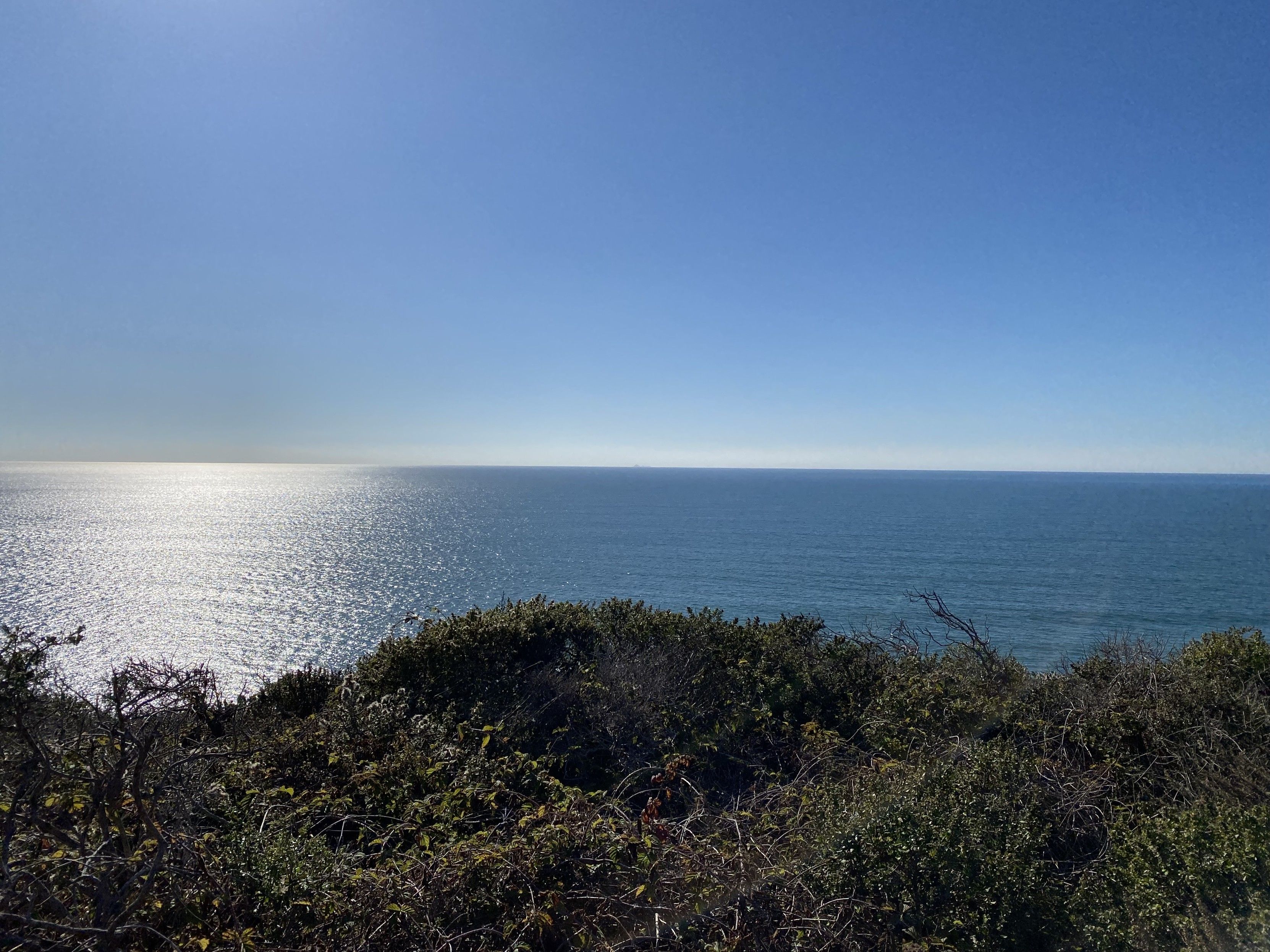
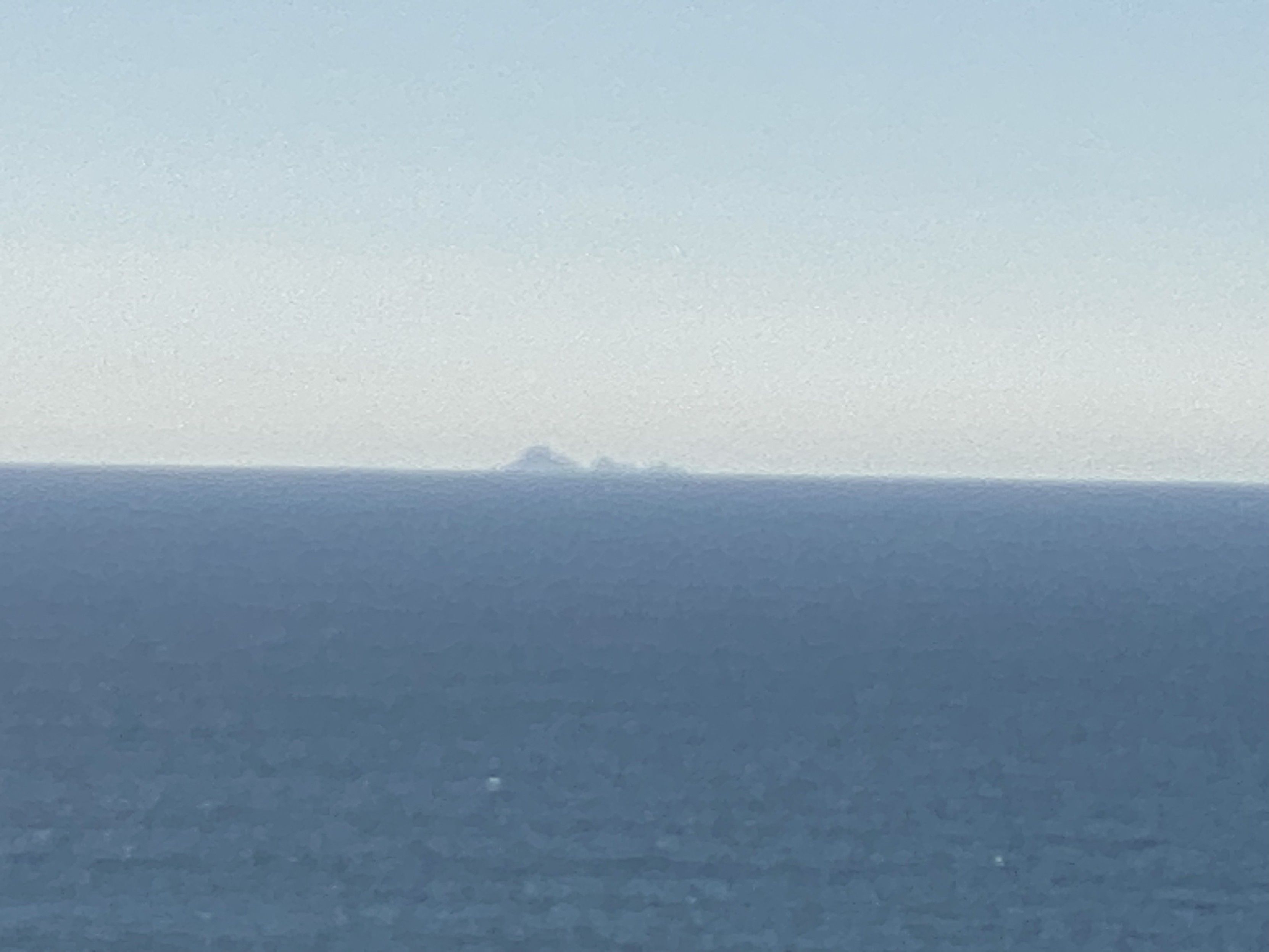
Figure 1. photograph of the Farallones from Slide Ranch camp ground, north of san francisco of US 1 past Stinson Beach.Figure 2. max zoom, photograph of the Farallones from Slide Ranch camp ground, north of san francisco of US 1 past Stinson Beach.
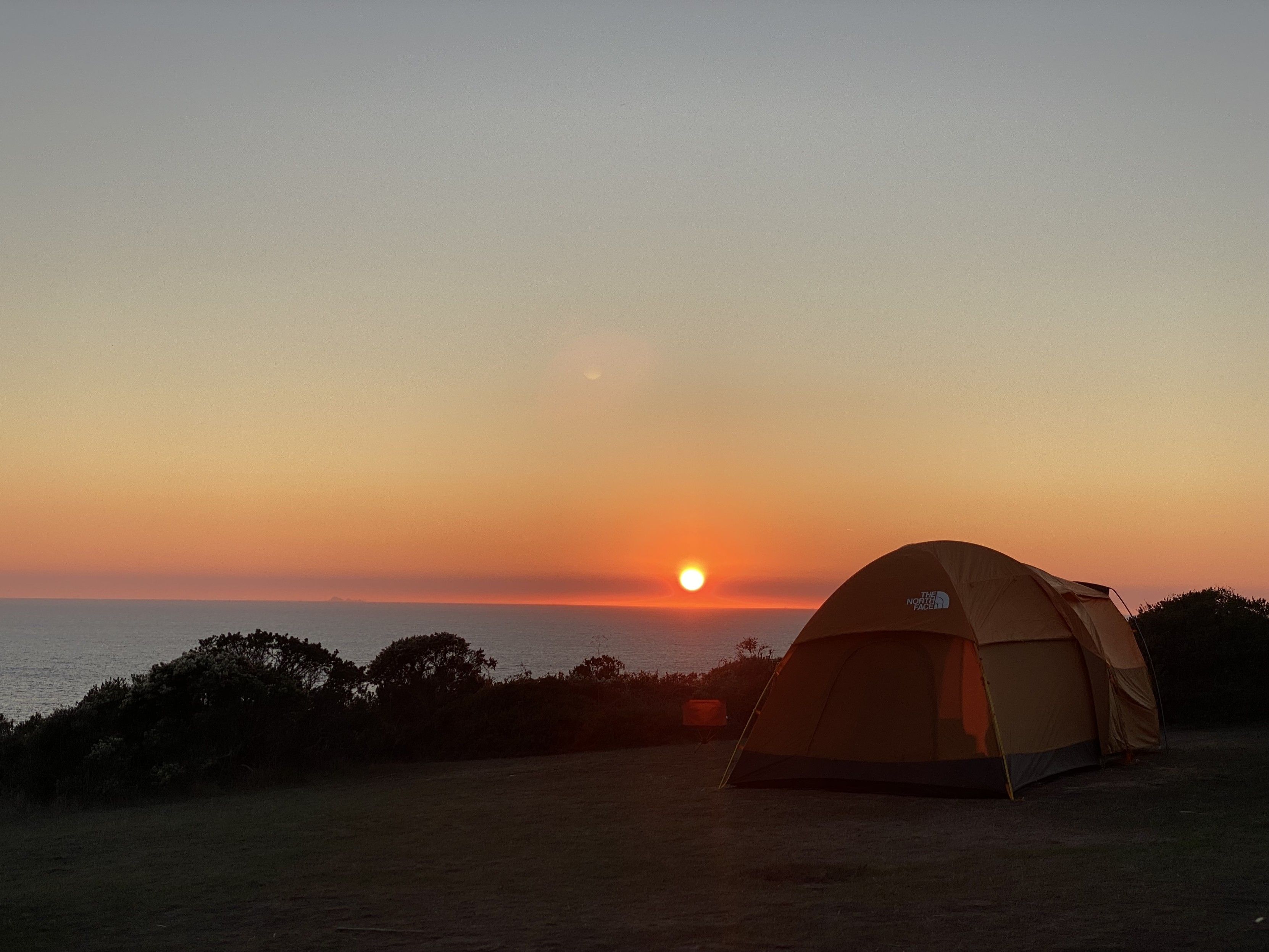
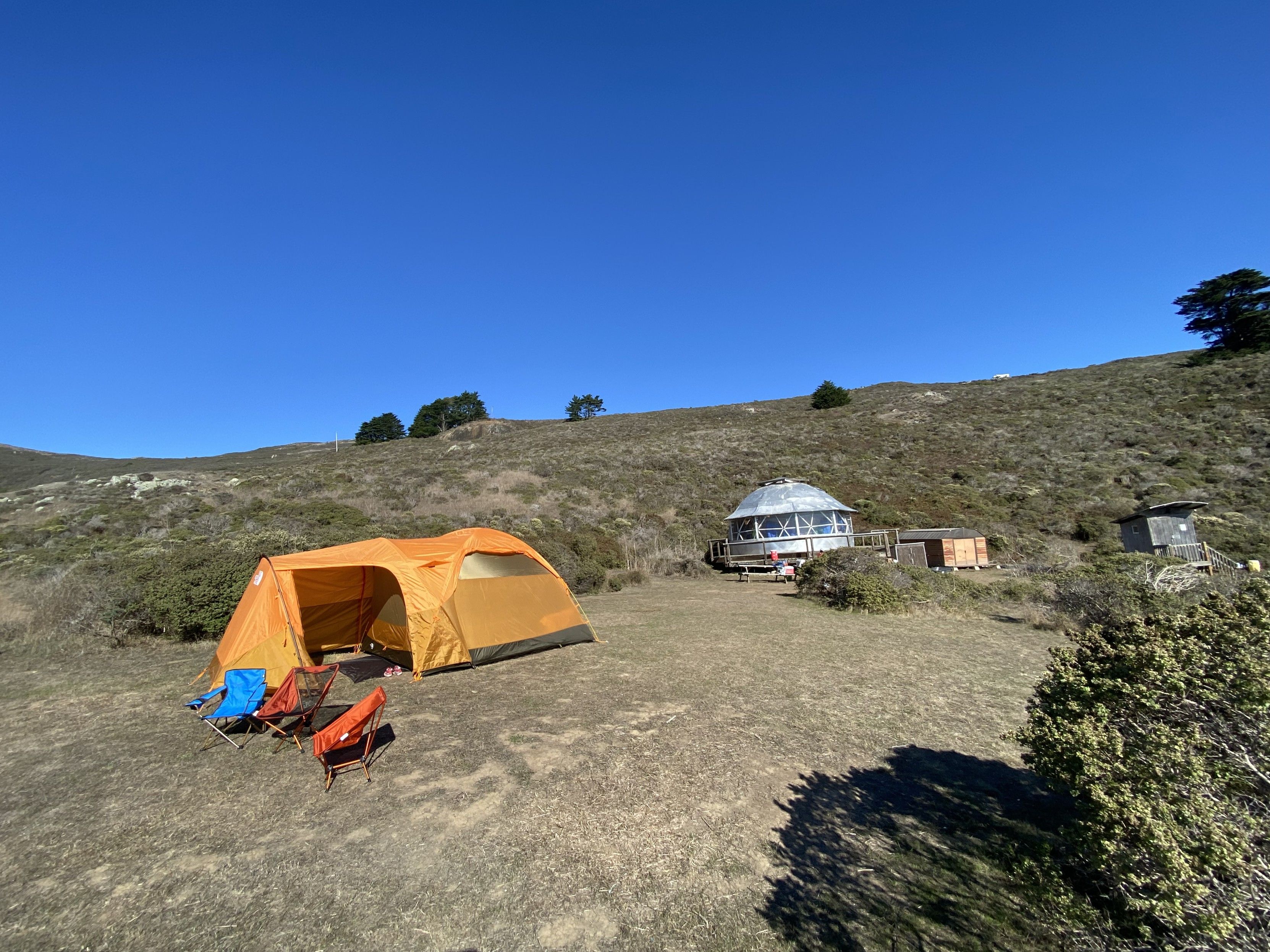
We camped at Slide Ranch the night before last.
Pretty nice! Our 5 yo had a blast.
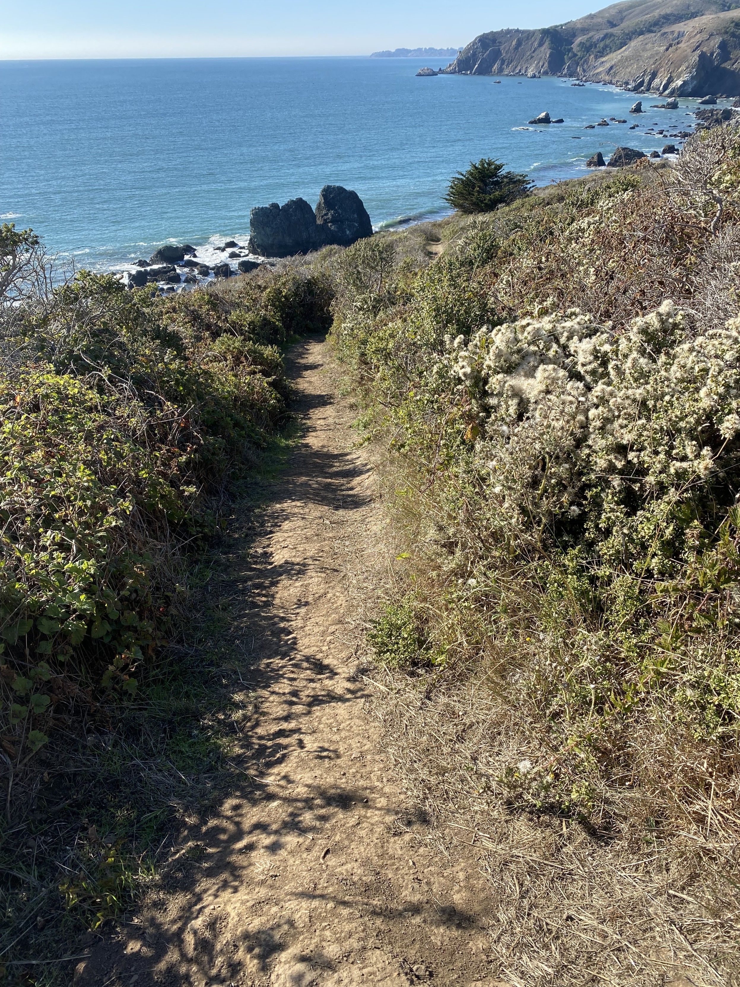
In addition to the farm with chickens, sheep, and goats, the camp site is well sited, and from it, there is a trail down to pacific ocean tide pools.
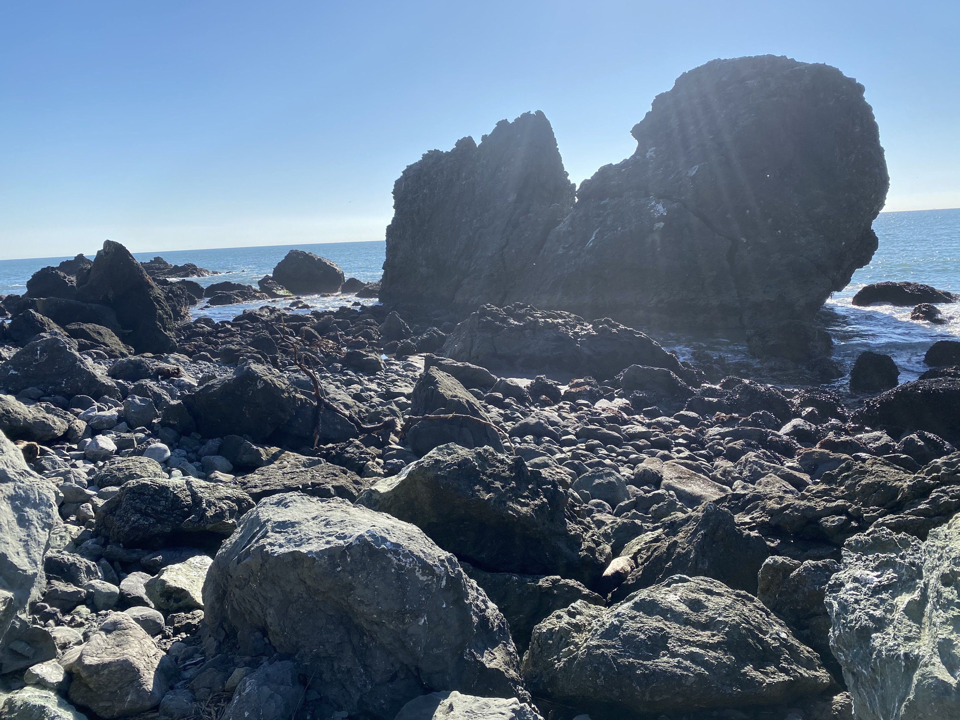
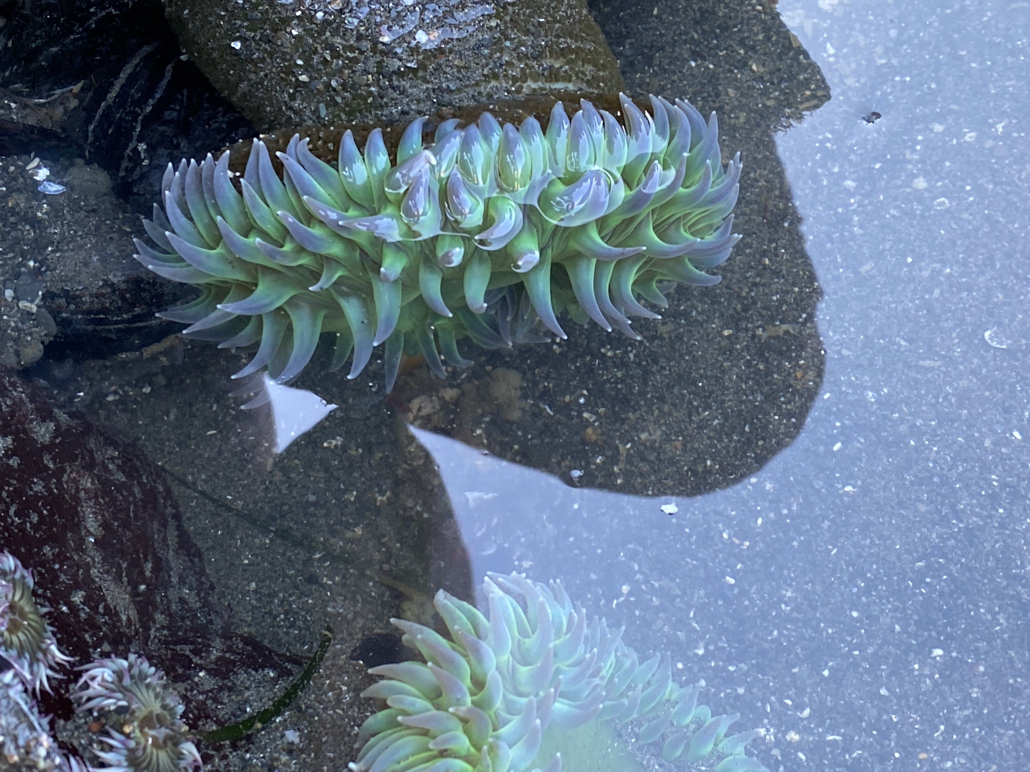
Figure 3. photograph of single track trail that descends 100 feet over 3/5ths of a mile to pacific ocean tide pools. the trails are all well trodden but posion plants are common on either side.Figure 4. photograph of pacific coast shore rocks at slide ranth, north of san francisco.Figure 5. pacific ocean tide pool sea anenenenenenomies (which I have a hard time pronouncing). They look like 4” dirty brown hoses with green spikey spiney succulents with purple tipds on the end in a ring.
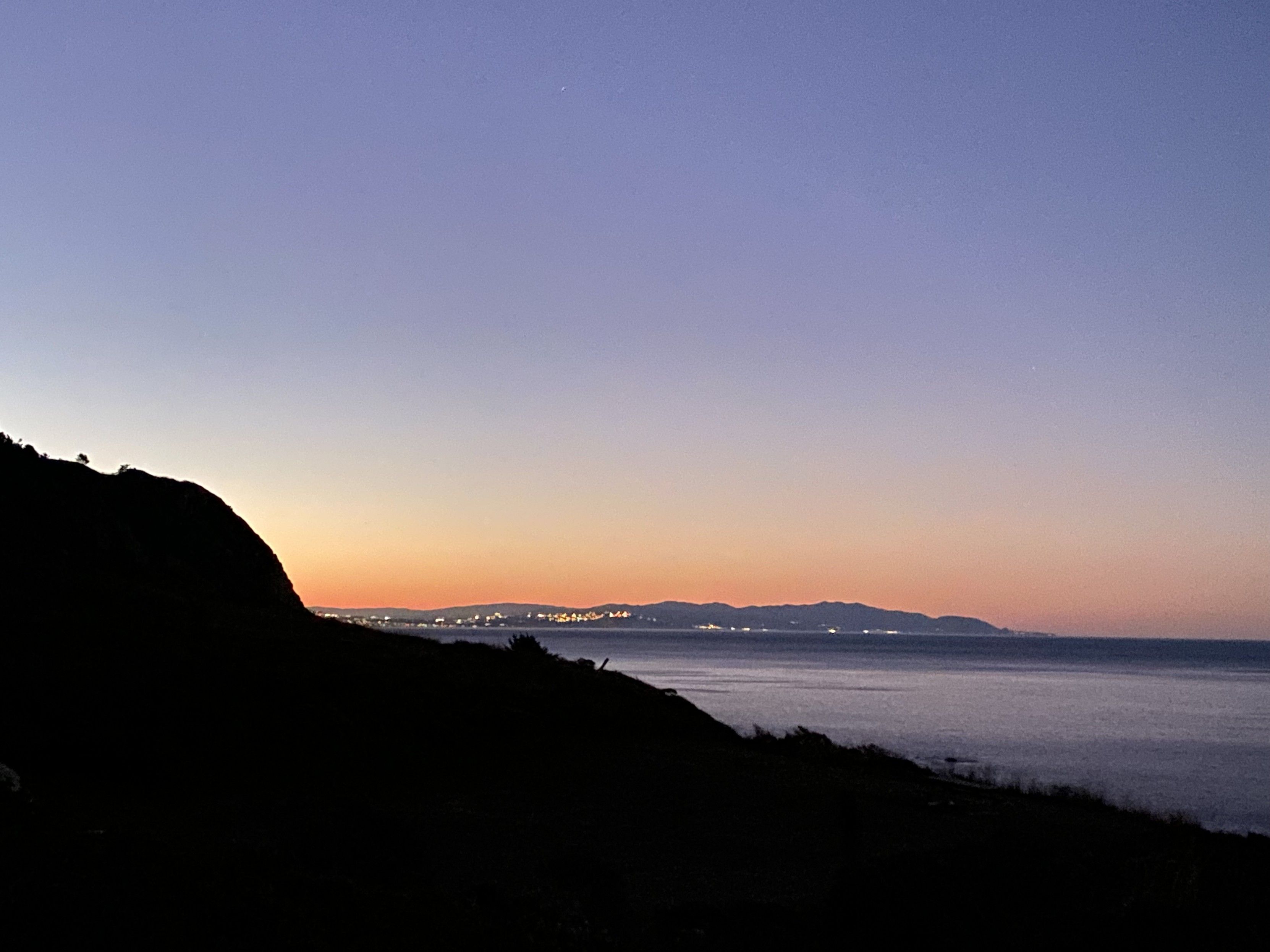
To the south: San Francisco? Daly City?
To the east: US 1
Figure 6. photo of the san francisco (or daly city or pacificia? I’m not sure) coastline from 20 miles north on the coast, looking south over a ridge as the sun set. urban lights are vibisle along the coast.Figure 7. photograph of the sun setting over the pacific ocean, a line of bush, and a large orange tent in the foreground in a clearing.Figure 8. photograph looking north-east from the westerly point of the upper camp site at Slide Ranch. US 1 is along the ridge.