Figure 1. A map of California. The path of a seven and three quarters mile (12 and a quarter kilometer) hike is indicated. About 1759 feet (536 meters) elevation over four hours, (two and a half hours moving).
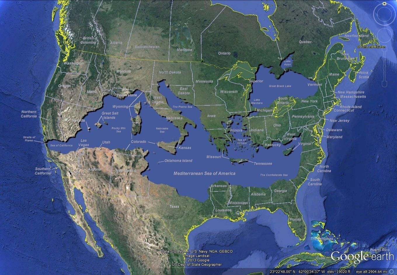
Figure 1. mirrored image from https://66.media.tumblr.com/47d380d06e901df35de4d3fb929ec8c5/tumblr_oppyrhQb3O1vugejgo4_r1_1280.png without alt text, sorry.
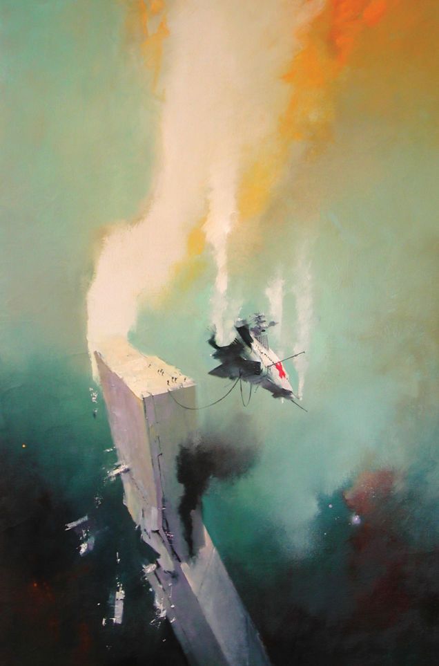
Figure 1. mirrored image from https://66.media.tumblr.com/7747c82a74cf9426f31f9d24fa423484/tumblr_oxq4csxzNR1qz6f9yo1_1280.jpg without alt text, sorry.
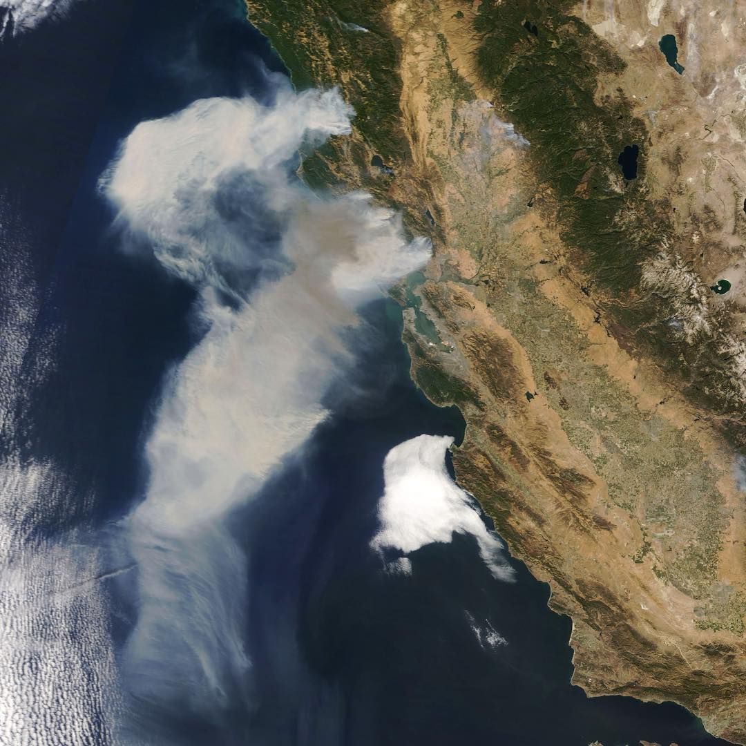
Figure 1. mirrored image from https://66.media.tumblr.com/cd576df4a174e577943e4c2a1ab95327/tumblr_oxrdfbxG4P1qz6f9yo1_1280.jpg without alt text, sorry.
Figure 1. mirrored image from https://66.media.tumblr.com/a33f6b7b0587a56d170396b90400711f/tumblr_nepyjiYs9d1rh8hiio1_1280.jpg without alt text, sorry.
Figure 1. mirrored image from https://66.media.tumblr.com/b48560688d7d6ee4f6e7479e6d4efc94/tumblr_oxojgnElxF1s1mt5yo1_1280.jpg without alt text, sorry.