That everyone fuckin’ hates DST yet we still have it is p effective propaganda
-
Posted on Mastodon over two years agoon November 06, 2023 - 11:26 PM and archived here at /mastodon/2023/11/06/111366188818369582/at https://pizza.slow.high.quality.gravely.pizza/mastodon/2023/11/06/111366188818369582/ in the Mastodon collection in both HTML and markdown.
-
Morning Walk
Figure 1. A map of San Francisco, California. The path of a three and three quarters mile (six kilometer) walk is indicated. About 7500 steps and 509 feet (155 meters) elevation over one and a quarter hours. Posted on Strava over two years agoon November 06, 2023 - 3:32 PM and archived here at /strava/2023/11/06/morning-walk/at https://pizza.slow.high.quality.gravely.pizza/strava/2023/11/06/morning-walk/ in the Strava collection in both HTML and markdown. -
Morning Walk
Figure 1. A map of San Francisco, California. The path of a three and a quarter mile (five and a quarter kilometer) walk is indicated. About 6400 steps and 322 feet (98 meters) elevation over one hour. Posted on Strava over two years agoon November 03, 2023 - 2:33 PM and archived here at /strava/2023/11/03/morning-walk/at https://pizza.slow.high.quality.gravely.pizza/strava/2023/11/03/morning-walk/ in the Strava collection in both HTML and markdown. -
Have been going for walks every weekday morning for the past two weeks after dropping the kid off at school and following “whatever is steeper" holistic routes
Yesterday, we dropped junior off at Flynn and then climbed the steps south from Cesar Chavez near the highway and went around the east of Bernal.
It’s fun to see out parts of the city I’ve seen from afar for years, and this area specifically would make for a great new walk or two in Bakalinski’s Stairway Walks of SF
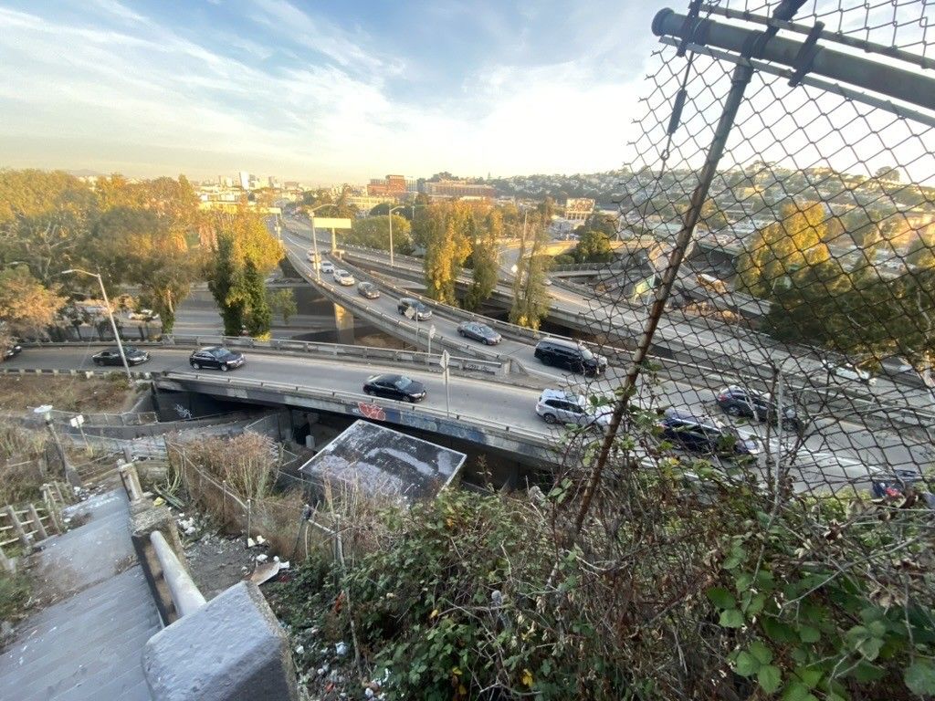
Figure 1. photo of 101 at cesar chavez, potrero ave, and bayshore blvd from the steps at peralta and holladay ave. 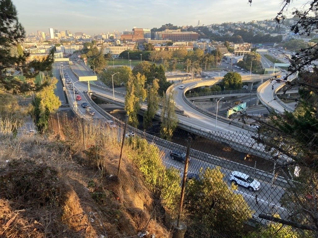
Figure 2. photo of 101 at cesar chavez, potrero ave, and bayshore blvd from holladay ave. 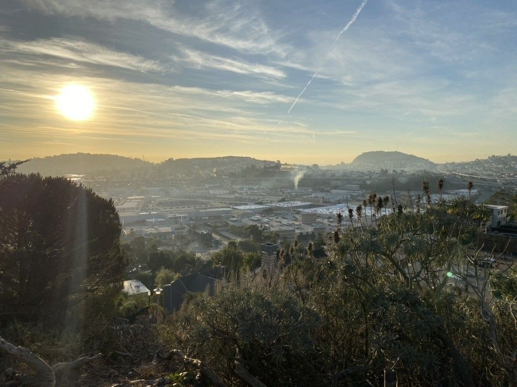
Figure 3. Looking east over bayshore halloday or brewster ave (I forget). Posted on Mastodon over two years agoon November 03, 2023 - 1:40 PM and archived here at /mastodon/2023/11/03/111346897334898027/at https://pizza.slow.high.quality.gravely.pizza/mastodon/2023/11/03/111346897334898027/ in the Mastodon collection in both HTML and markdown. -
Morning Walk
Figure 1. A map of San Francisco, California. The path of a three mile (five kilometer) walk is indicated. About 6100 steps and 561 feet (171 meters) elevation over one hour. Posted on Strava over two years agoon November 02, 2023 - 2:45 PM and archived here at /strava/2023/11/02/morning-walk/at https://pizza.slow.high.quality.gravely.pizza/strava/2023/11/02/morning-walk/ in the Strava collection in both HTML and markdown. -
Morning Walk
Figure 1. A map of San Francisco, California. The path of a three and a half mile (five and a half kilometer) walk is indicated. About 6900 steps and 617 feet (188 meters) elevation over one hour. Posted on Strava over two years agoon October 31, 2023 - 2:57 PM and archived here at /strava/2023/10/31/morning-walk/at https://pizza.slow.high.quality.gravely.pizza/strava/2023/10/31/morning-walk/ in the Strava collection in both HTML and markdown. -
Morning Walk
Figure 1. A map of San Francisco, California. The path of a two and a quarter mile (three and a half kilometer) walk is indicated. About 4300 steps and 341 feet (104 meters) elevation over three quarters of an hour. Posted on Strava over two years agoon October 30, 2023 - 3:31 PM and archived here at /strava/2023/10/30/morning-walk/at https://pizza.slow.high.quality.gravely.pizza/strava/2023/10/30/morning-walk/ in the Strava collection in both HTML and markdown. -
Jimmy fallon at band of brothers s1e5
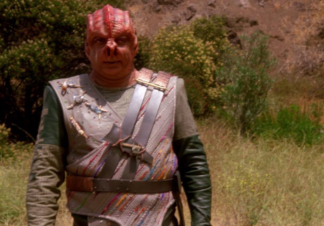
Figure 1. the alien from the star trek the next generation episode, darmok (https://en.wikipedia.org/wiki/Darmok)statement translates as "schmuck!" Posted on Mastodon over two years agoon October 29, 2023 - 11:35 PM and archived here at /mastodon/2023/10/29/111320925069431951/at https://pizza.slow.high.quality.gravely.pizza/mastodon/2023/10/29/111320925069431951/ in the Mastodon collection in both HTML and markdown. -
Slide Ranch tide pools
Figure 1. A map of California. The path of a zero and a half mile (one kilometer) walk is indicated. About 1200 steps and 98 feet (30 meters) elevation over one hour, (a quarter hour moving). Posted on Strava over two years agoon October 28, 2023 - 10:46 PM and archived here at /strava/2023/10/28/slide-ranch-tide-pools/at https://pizza.slow.high.quality.gravely.pizza/strava/2023/10/28/slide-ranch-tide-pools/ in the Strava collection in both HTML and markdown. -
Slide Ranchallones
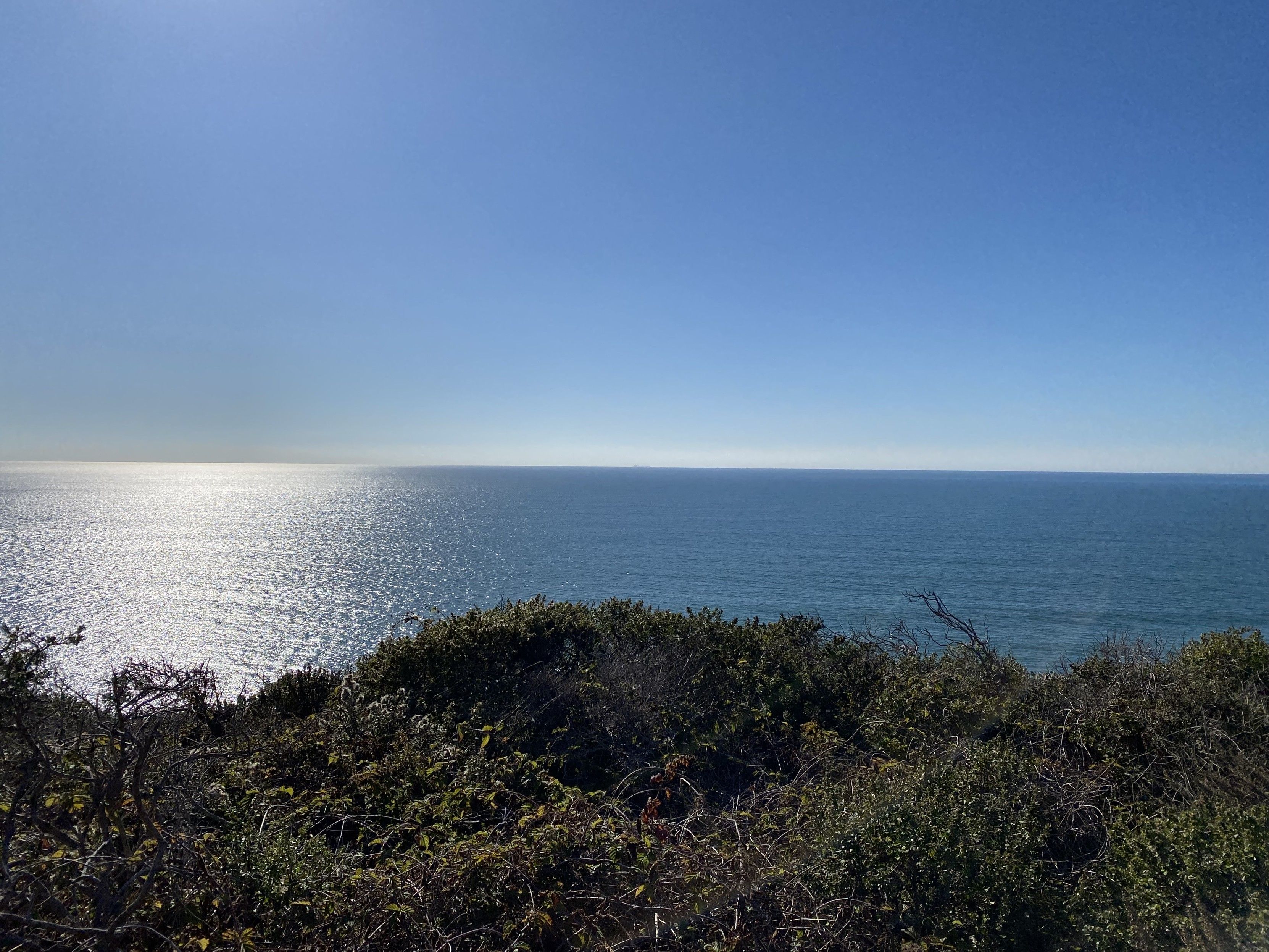
Figure 1. photograph of the Farallones from Slide Ranch camp ground, north of san francisco of US 1 past Stinson Beach. 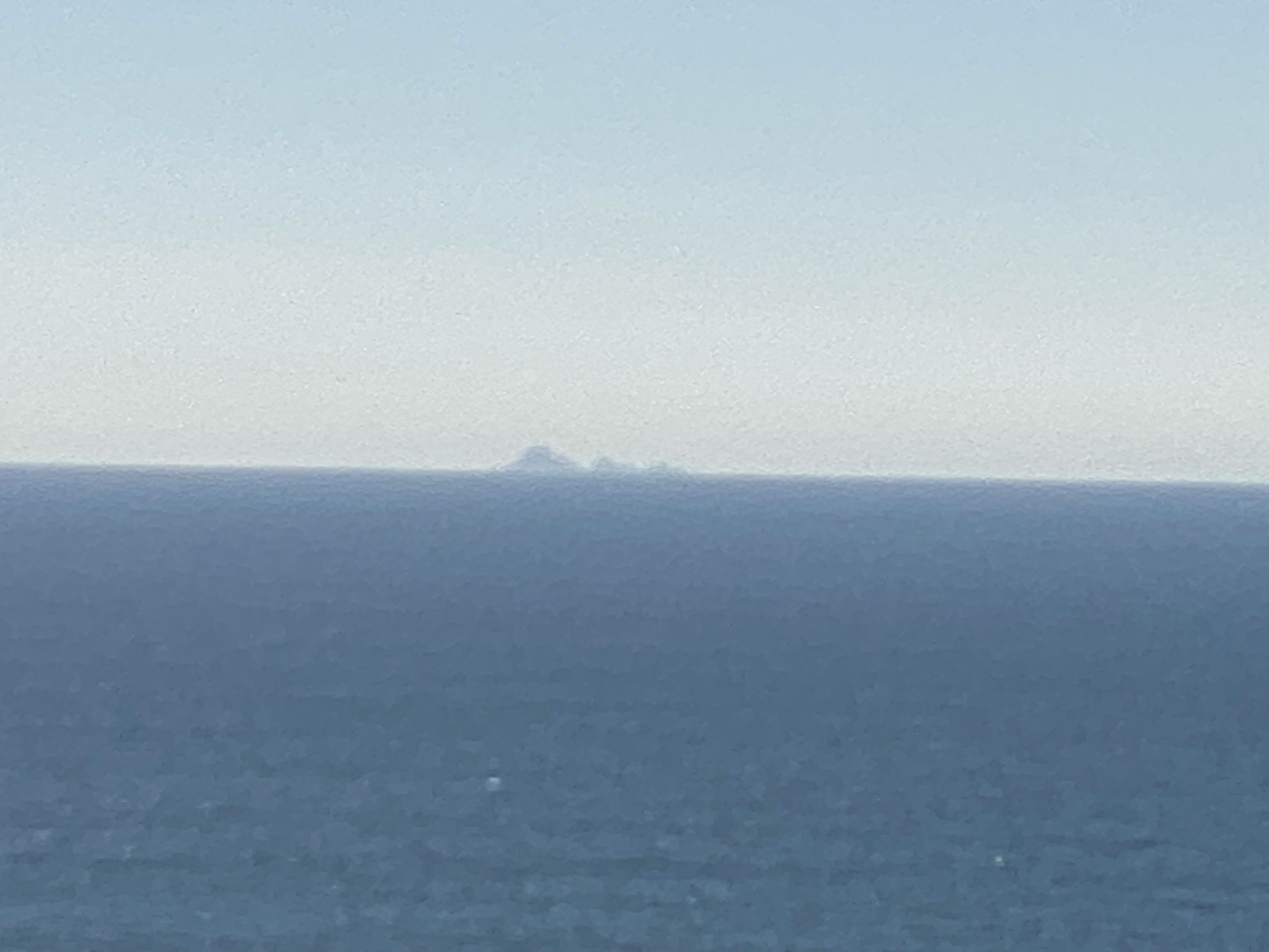
Figure 2. max zoom, photograph of the Farallones from Slide Ranch camp ground, north of san francisco of US 1 past Stinson Beach. We camped at Slide Ranch the night before last.
Pretty nice! Our 5 yo had a blast.
In addition to the farm with chickens, sheep, and goats, the camp site is well sited, and from it, there is a trail down to pacific ocean tide pools.
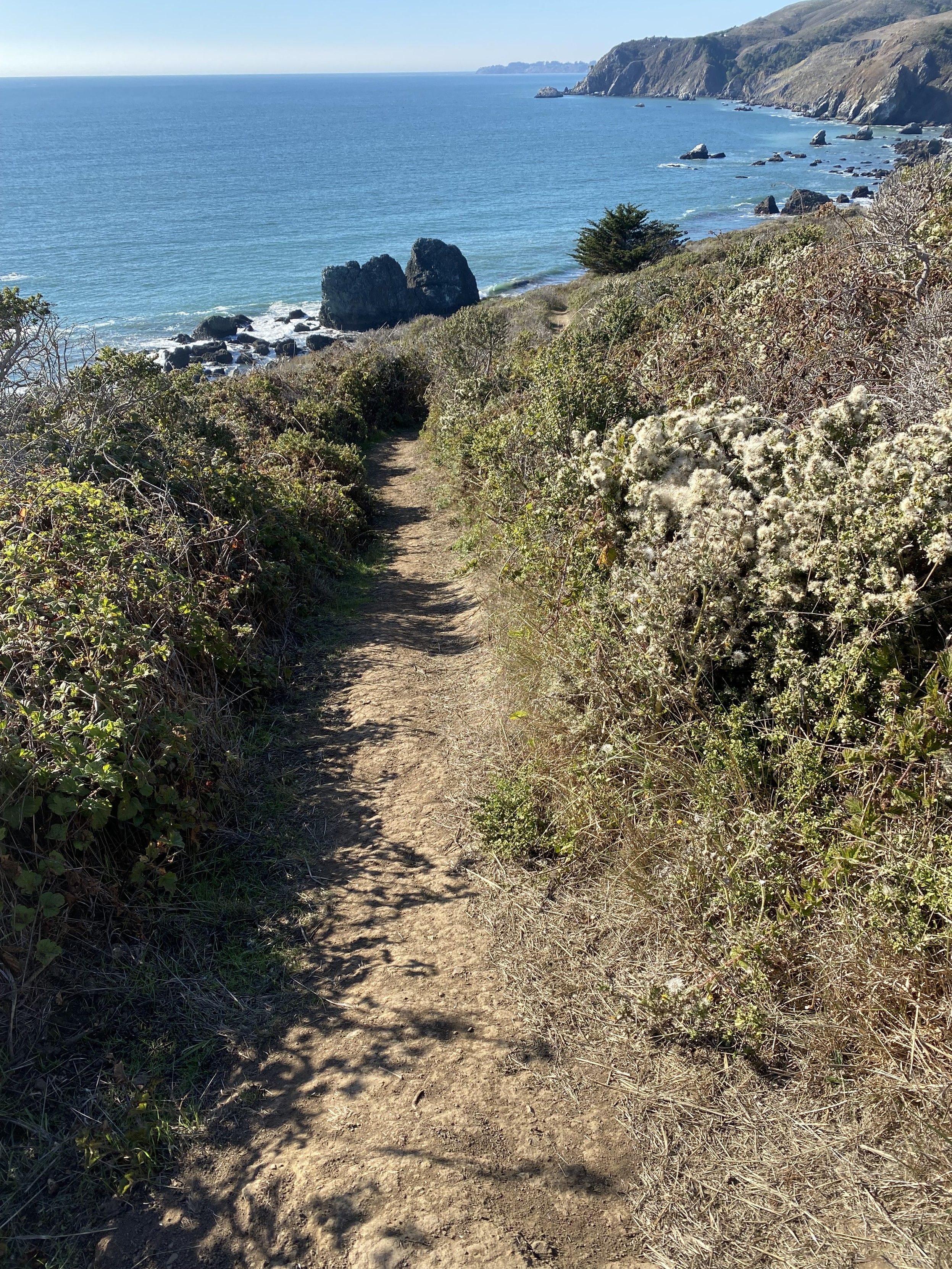
Figure 3. photograph of single track trail that descends 100 feet over 3/5ths of a mile to pacific ocean tide pools. the trails are all well trodden but posion plants are common on either side. 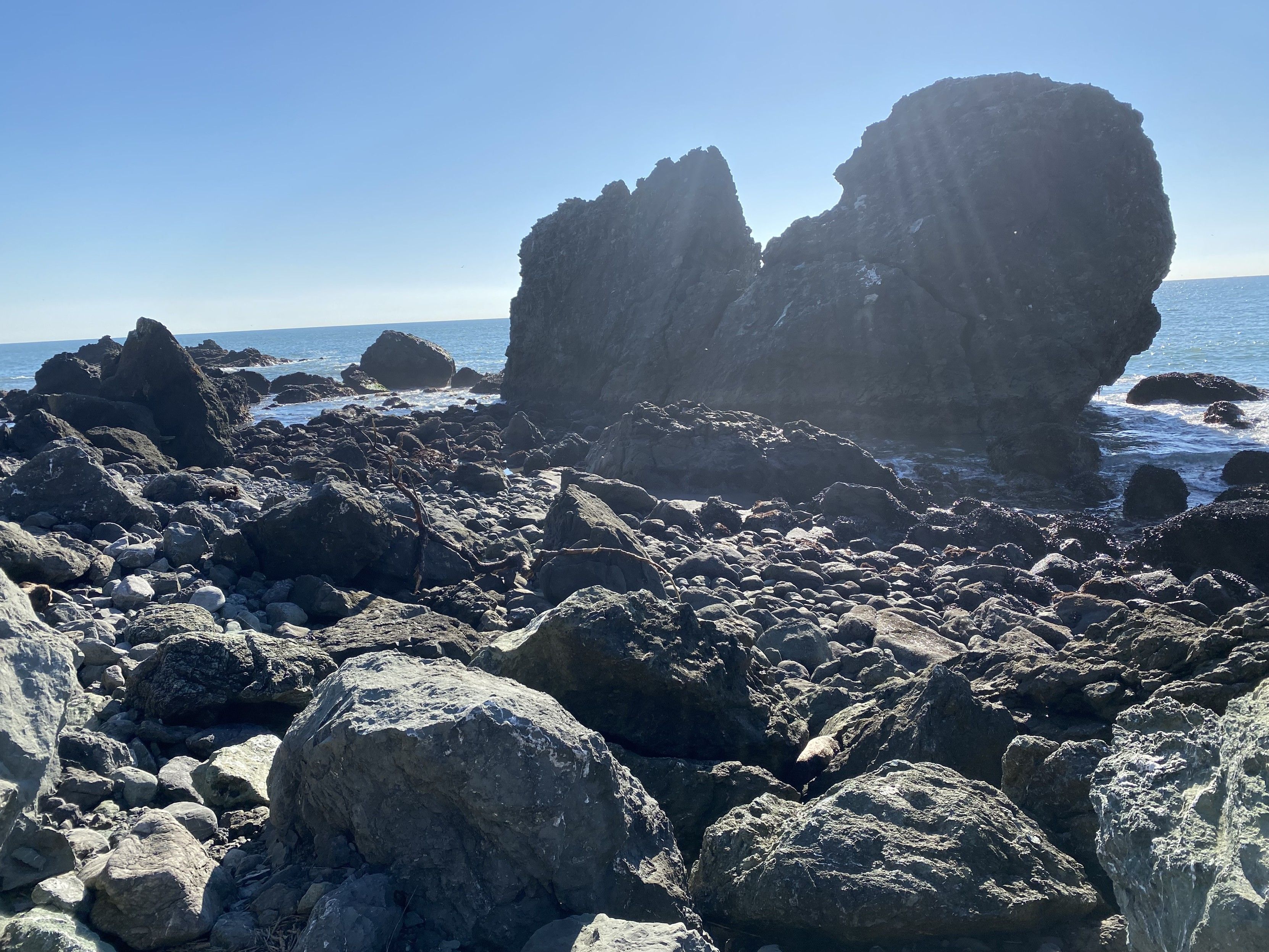
Figure 4. photograph of pacific coast shore rocks at slide ranth, north of san francisco. 
Figure 5. pacific ocean tide pool sea anenenenenenomies (which I have a hard time pronouncing). They look like 4” dirty brown hoses with green spikey spiney succulents with purple tipds on the end in a ring. To the south: San Francisco? Daly City?
To the east: US 1
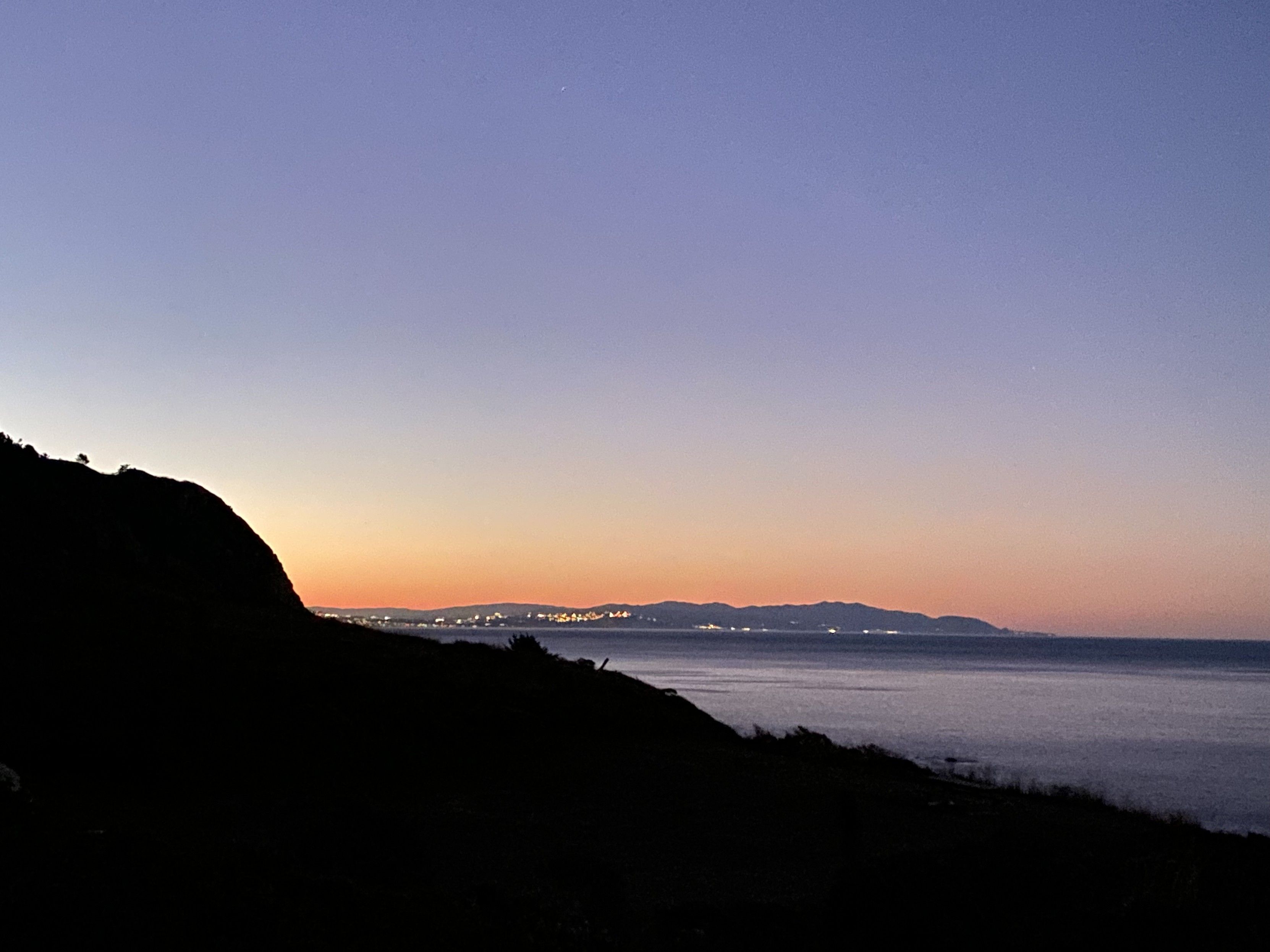
Figure 6. photo of the san francisco (or daly city or pacificia? I’m not sure) coastline from 20 miles north on the coast, looking south over a ridge as the sun set. urban lights are vibisle along the coast. 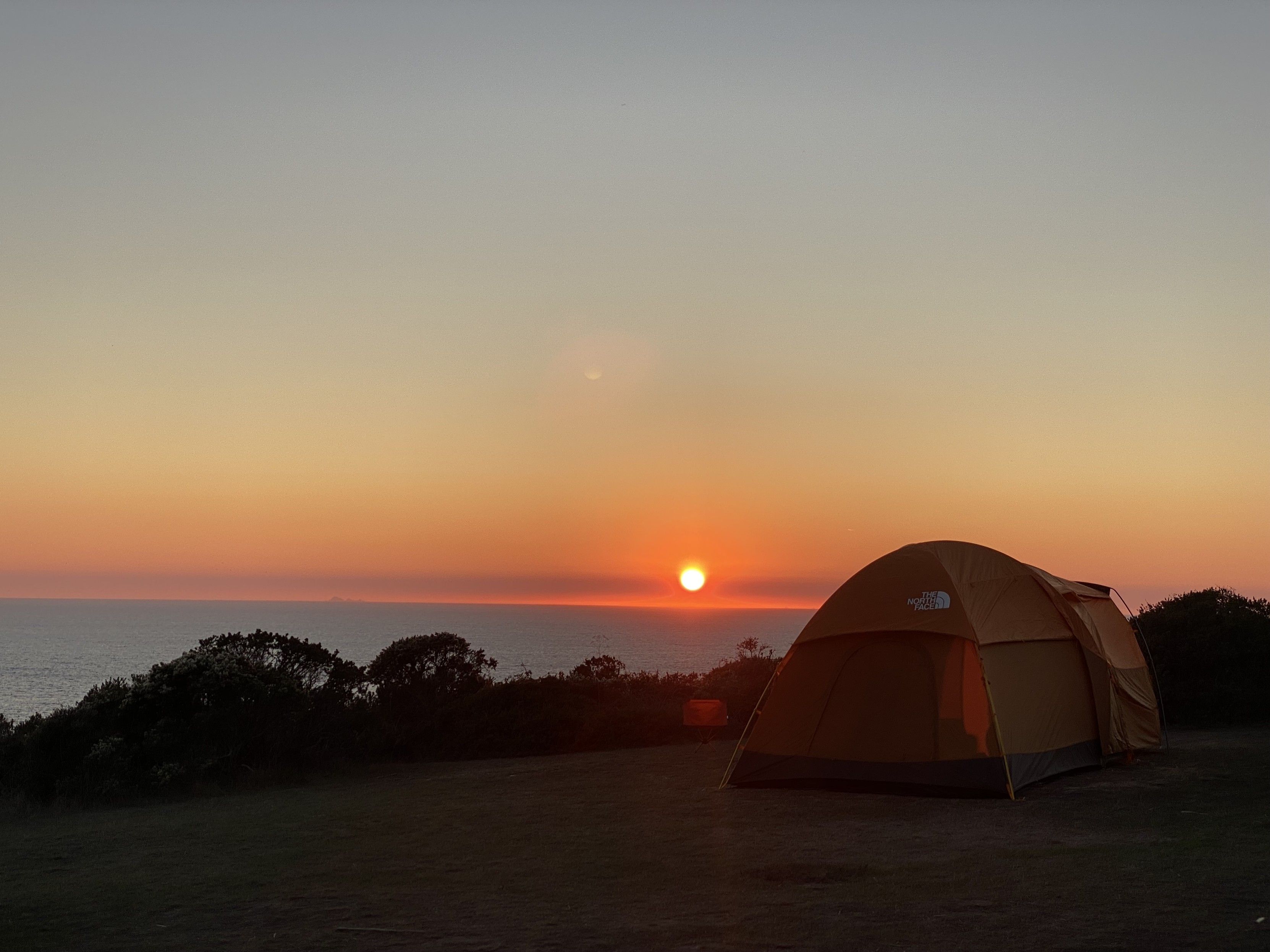
Figure 7. photograph of the sun setting over the pacific ocean, a line of bush, and a large orange tent in the foreground in a clearing. 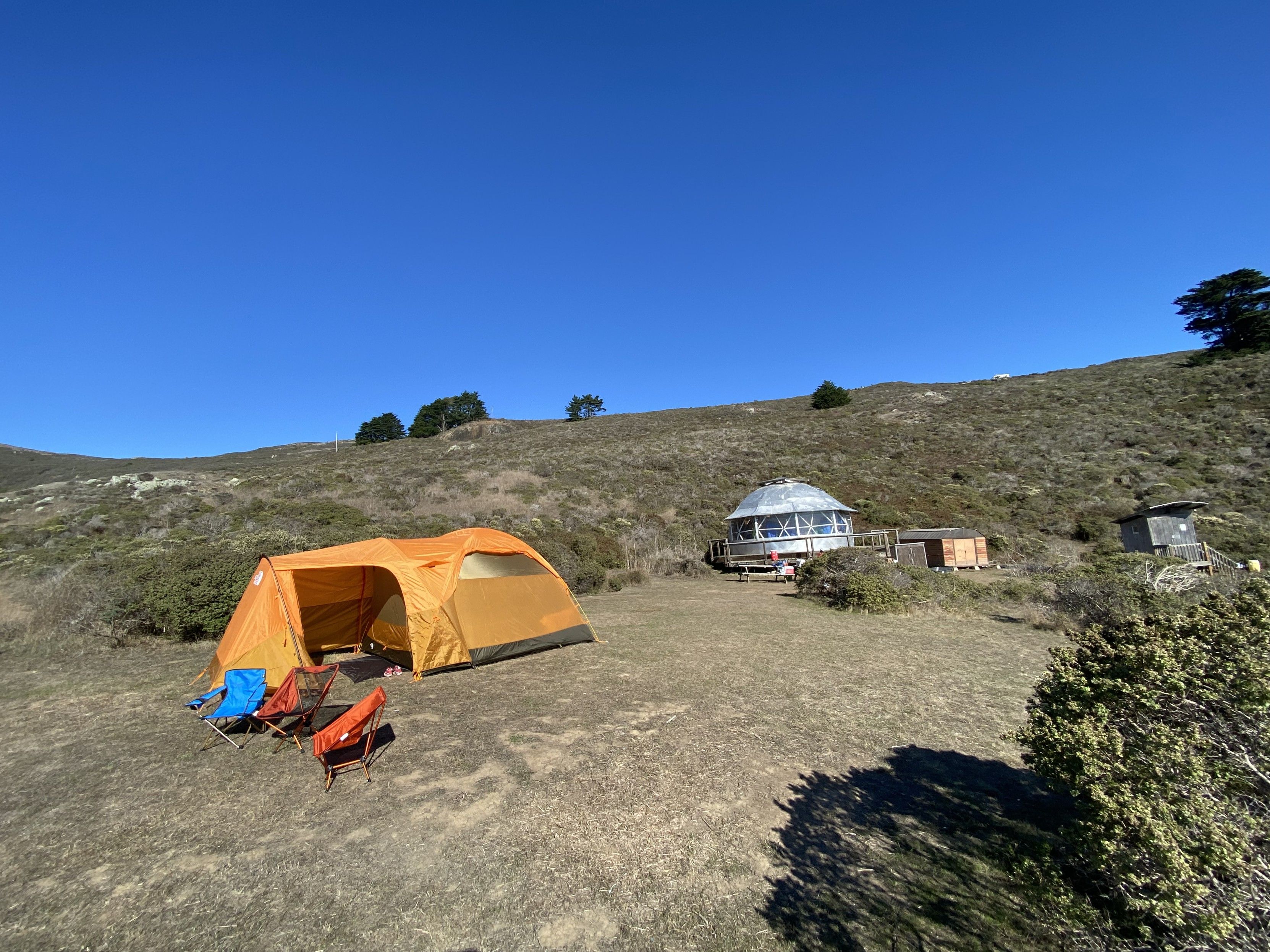
Figure 8. photograph looking north-east from the westerly point of the upper camp site at Slide Ranch. US 1 is along the ridge. Posted on Mastodon over two years agoon October 28, 2023 - 10:08 PM and archived here at /mastodon/2023/10/28/111314920196000847/at https://pizza.slow.high.quality.gravely.pizza/mastodon/2023/10/28/111314920196000847/ in the Mastodon collection in both HTML and markdown.