Figure 1. A map of San Francisco, California. The path of a four mile (six and a half kilometer) walk is indicated. About 8000 steps and 617 feet (188 meters) elevation over one and a quarter hours, (one hour moving).
Decided to try SFMTA’s recommended southwest route ( https://www.sfmta.com/maps/san-francisco-bike-network-map) today: climbed up chavez to tag slow sanchez, then back down to san jose, arlington, hearst, halloway, south around lake merced, and cruised up the great highway to the windmills to head home through the park, wiggle, etc.
Area man outsmarts renowned global fitness firm with ring of invisibility
Figure 1. A map of San Francisco, California. The path of a 10 mile (16 kilometer) ride is indicated. About 761 feet (232 meters) elevation over one and three quarters hours, (one hour moving).
I only ever recorded these to get a distance measurement immediately after I was done and had forgotten they were recorded. there’s so much shit out there that we keep forever “for free” and I guess that’s ok but I would also be ok if we did not do this at all, it’s all so arbitrary
So I walk a few miles every morning looked for an app help me be more intentional about taking streets I’ve never taken before and was susprised when https://citystrides.com/ pulled in… every walk I’ve ever recorded in strava.
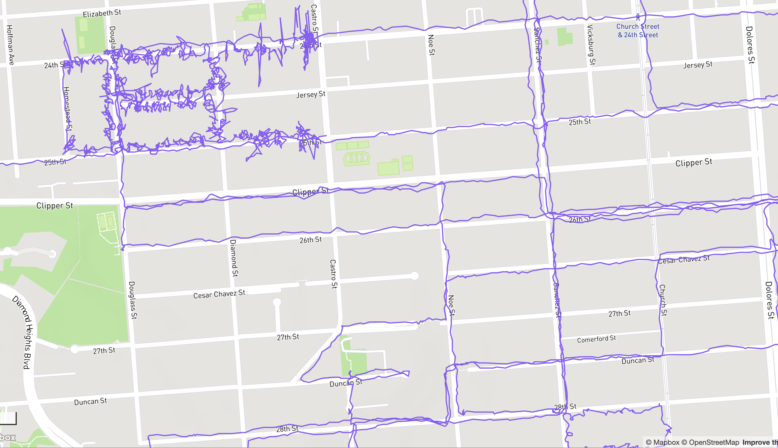
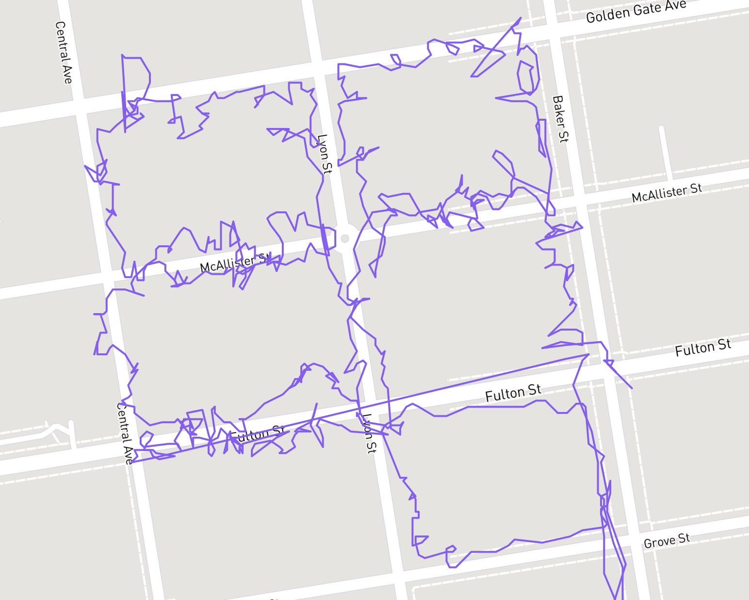
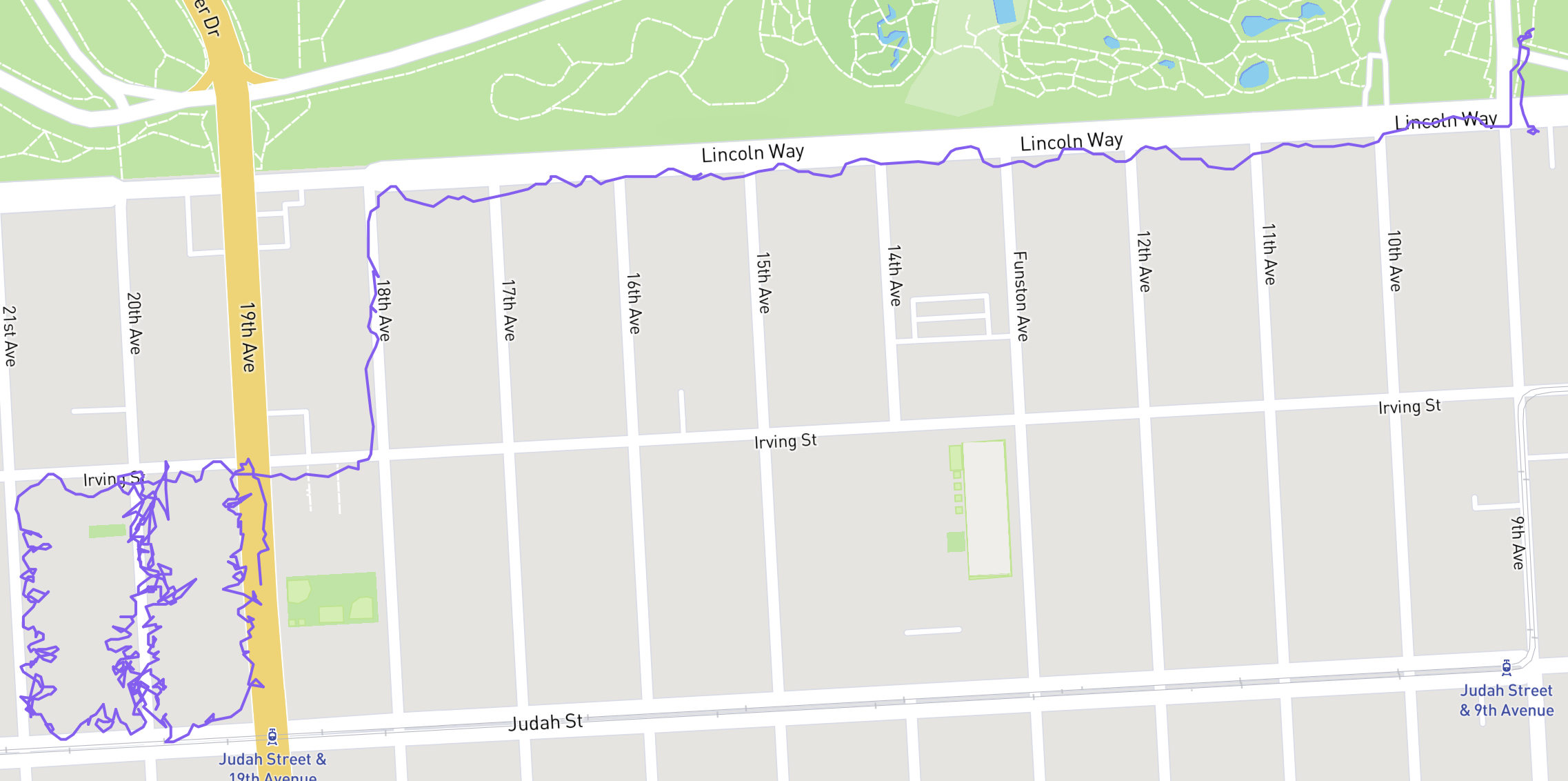
it’s neat seeing the stark difference between tight squiggles of political lit drops up and down steps from years ago (usually hanging door cards on every house doorknob on a turf of a few blocks) next to meanderings of normal walks on sidewalks
Figure 2. a street map of the southwest of noe valley with purple lines throughout from walks I’ve done in the past few months and a tightly packed bunch of walks along a few blocks in one corner where I did a lit drop like six years ago.Figure 3. a map of SF’s NoPa neighborhood with a tight four block turf of purple squiggly lines.Figure 4. a map SF’s inner sunset where I clearly walked a ways to a turf from golden gate park.
Jeeze, I guess I’s best be avoiding that fella in my business dealings [slaps open a metal ticket book, removes a bic pen, licks a finger, flips to the first empty page of an 8” x 5” legal pad, licks the pen tip, and begins writing: s, a, m, et cetera]
I normally that find perpetual schadenfreude wears pretty thin (in that it doesn’t work to make me feel any better and is eventually a real bummer. I’m glad it helps other people though.)
But this guy is just so incredibly annoying. So, sorry about that. Won’t make it a habit.
Figure 1. A map of San Francisco, California. The path of a four and three quarters mile (seven and three quarters kilometer) walk is indicated. About 9500 steps and 771 feet (235 meters) elevation over one and a half hours.
Figure 1. A map of San Francisco, California. The path of a three mile (four and three quarters kilometer) walk is indicated. About 5800 steps and 443 feet (135 meters) elevation over one and a quarter hours, (one hour moving).