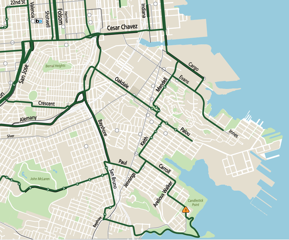
Another nice day to try SFMTA recommended bike routes ( https://www.sfmta.com/sites/default/files/pdf_map/2021/06/sfmta_recommendedbikeroutes_0.pdf), so this time I went southeast: Chavez to Illinois to Cargo, side-quest out Heron’s Head Park and Hunter’s Point, back on the route to Mendel, Palou, Keith, Carrol, out to Candlestick Point, reverse back to Jenning, Paul, Bayshore, and Chavez home.
Lovely!
Figure 1. picture of the SFMTA pdf of recommended routes of the southeast corner of San Francisco.
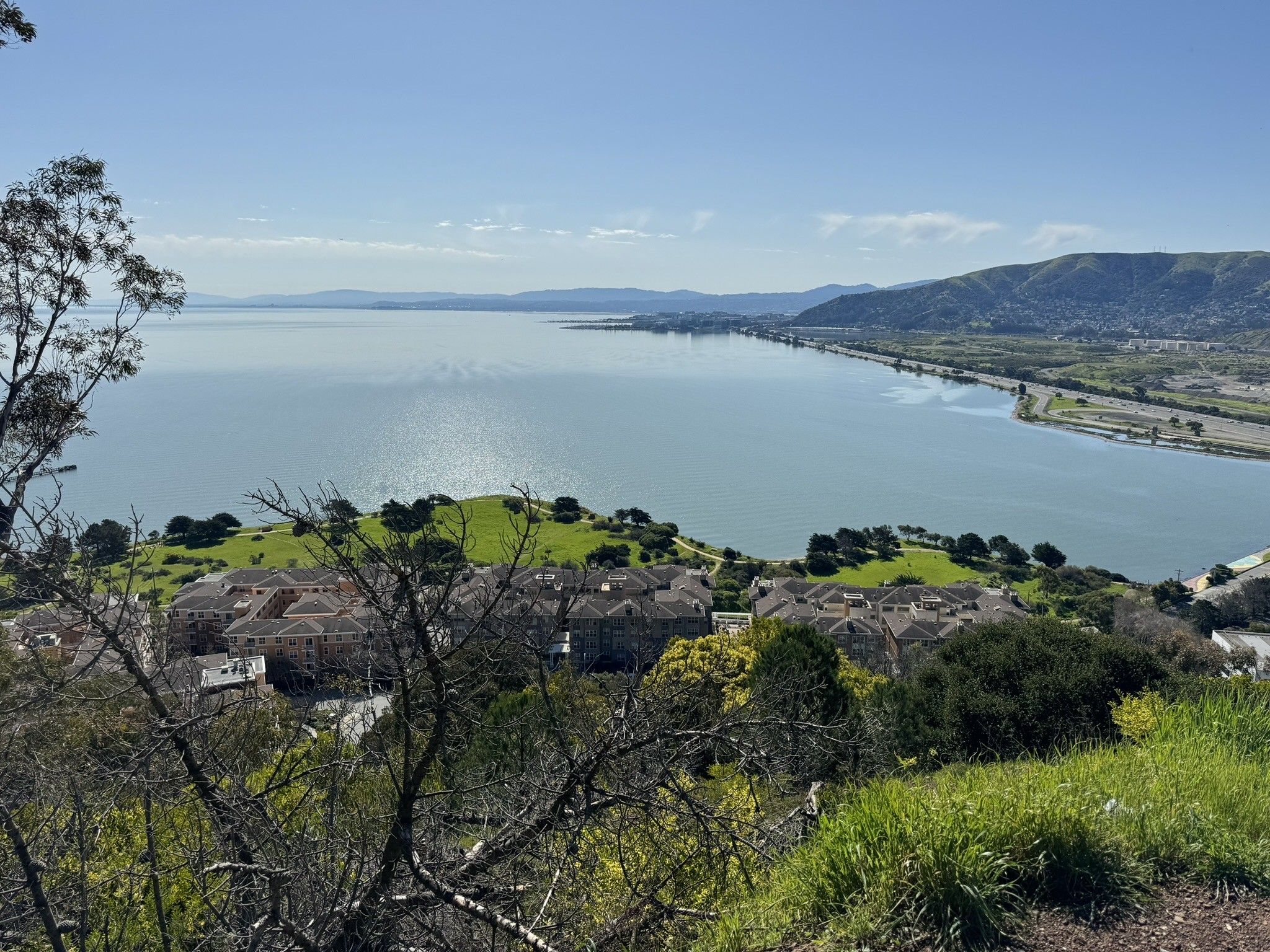
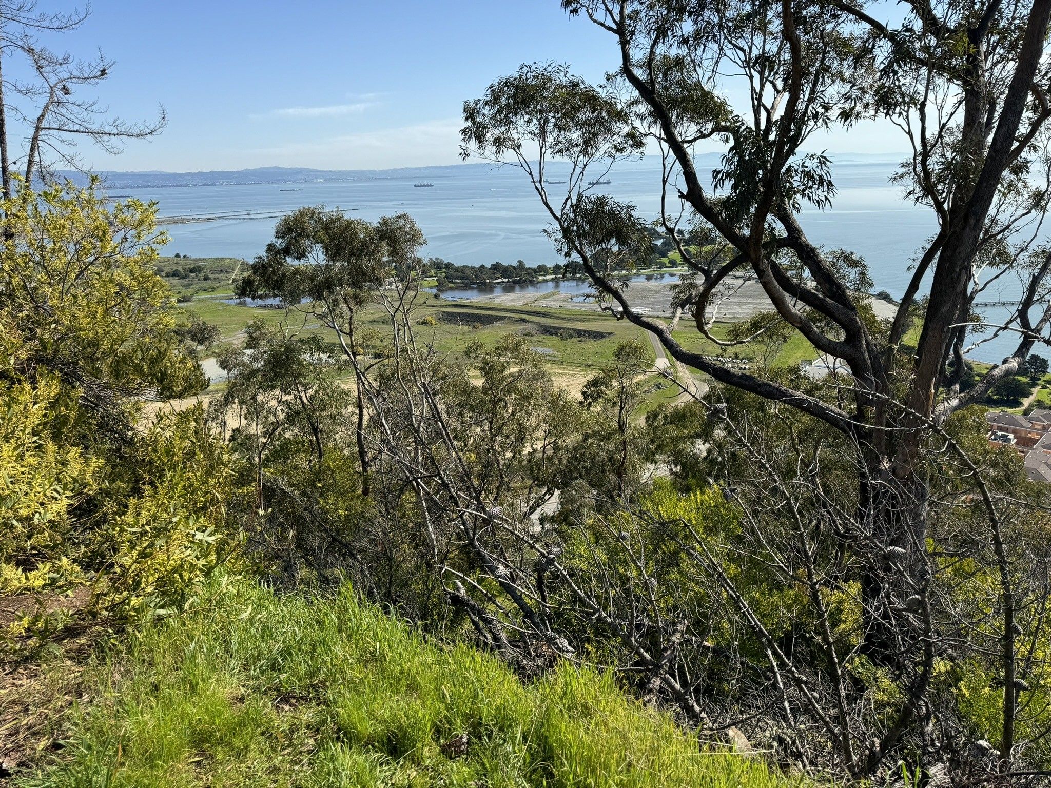
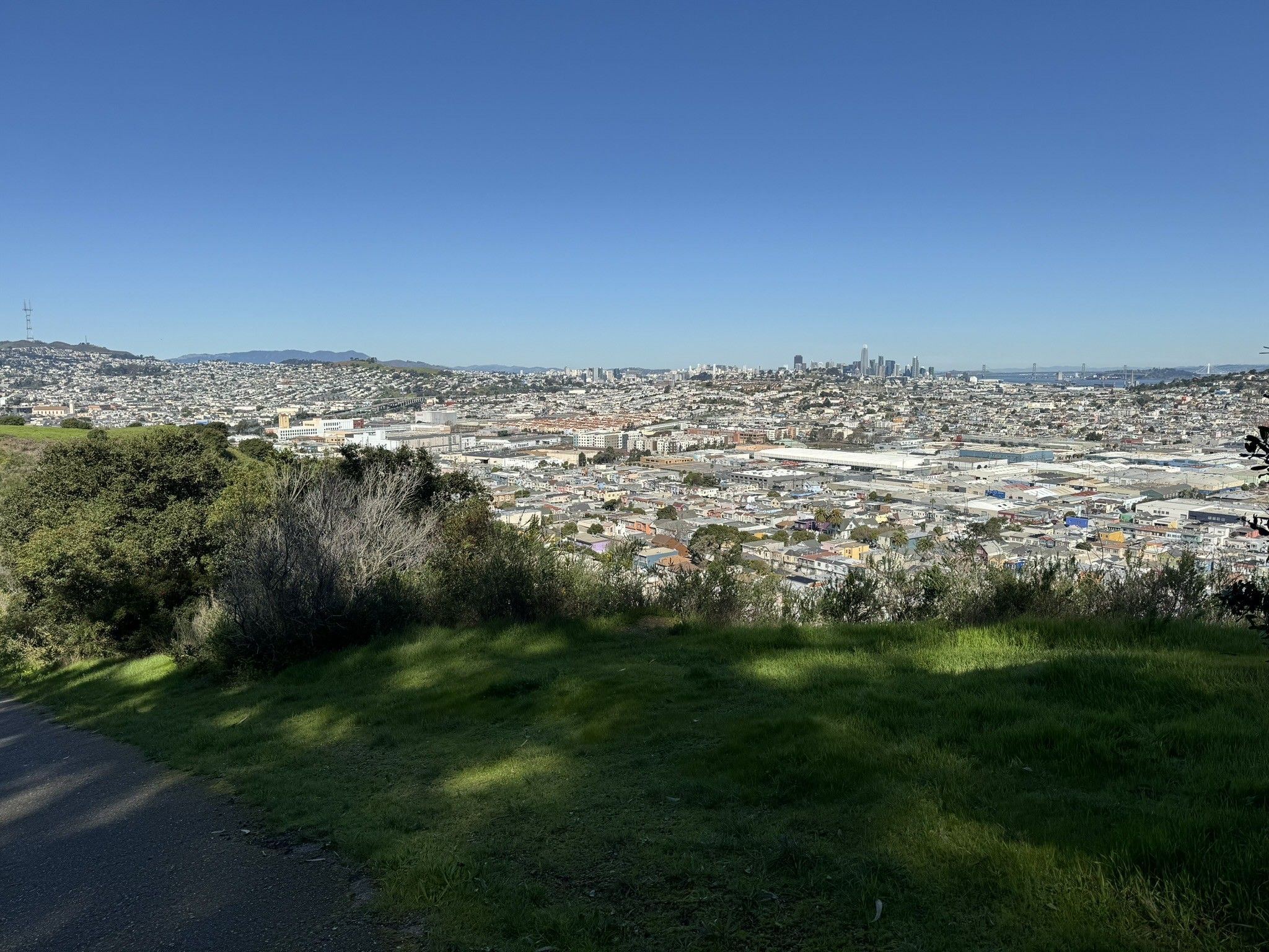
hiked Bayview hill yesterday, today was very much a “I want to go down there” result
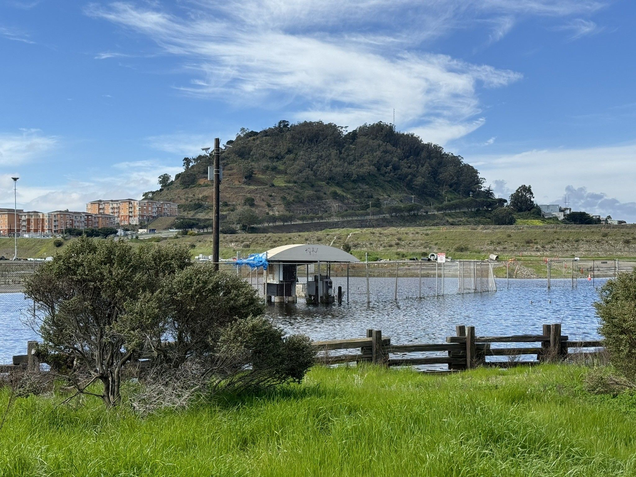
Figure 2. photograph, view south from the top of bayview hill to oyster point and SFO Airport.Figure 3. photograph of the parking lot for the now demolished Candlestick Park stadium from the Bayview Hill Trail.Figure 4. Photograph of San Francisco from the initial climb of the Bayview Hill trail.Figure 5. Photograph of Bayview Hill, reversing the second in the series, above from the parking lot of Candlestick Park. Most the actual lot and “Hunter’s Point Expressway” around the hill at this point are just a fenced off lake and are inaccessible..
I feel like more than a few people I follow posted about this over the past year so I eventually followed suit. More memoir (again!) than I’m normally into but just enough history, novelty, and new-to-me theory to be pretty good after all.
Figure 1. The hardback cover of “How Infrastructure Works: Inside the systems that shape our world.”, by Deb Chachra, as I read it. White Helvetica-lookin’ title, subtitle, and author name in equal large sizes and weights over black asphalt spray painted with circles and arrows in orange, pink, and yellow. That infrastructure / utility workers paint the ground in specific colors in the U.S. is actually detailed in the book, so this is one of those rare cases where the cover artist read the book and wasn’t overruled by the publisher to do some other stupid thing instead. Huzzah!.
so after reading this I thought of a monthly “new artists” CD mailer subscription I had in the late 90s that I coulda swore had a Marley track one month, which is weird, right?
so I checked my Plex for Marley, picked Catch a Fire, saw “Midnight Ravers”, which was the chorus I was thinking of, but not it.
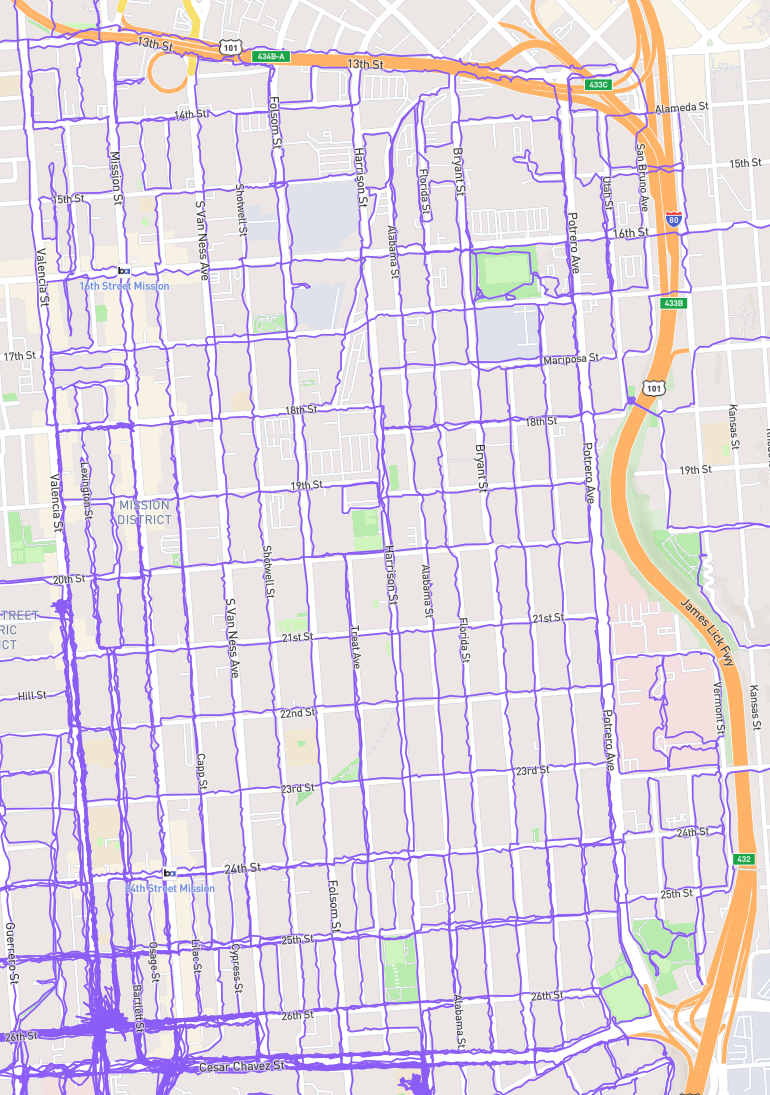
🏁 what I’m considering the inner mission, bound by 101, Cesar Chaves, and Valencia
Figure 1. A San Francisco street map centering the area bound by 101, Ceasar Chavez, and Valencia, on which every street has a meandering purple GPS path I’ve logged on it. (I tried to walk Erie St a few times but it’s been under construction each time.).
One tell that this is good is that I immediately shazam’d it off of NTS’s “Expansions” mix ( https://www.youtube.com/watch?v=GmpgnzoFwNQ, which I now assume is named after the track (or suite) of the same name after this one on record), paused the mix and listened to it again, and then the everloving wife stormed over and asked when my music changed from good to bad and shut my door.
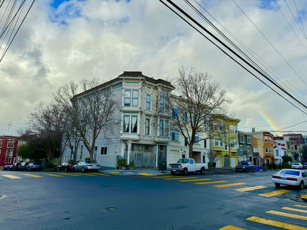
Figure 1. photograph from the corner of 25th Street at San Bruno Street looking northwest at San Bruno, a rainbow rises from the far right in an arc that, if complete, would end on Sutro Tower on the far left, but is only brightly visible for a few degrees of arcI’ve been jacking the saturation on my city shots lately to max it out because it feels more accurate at a glance to what it’s like to look at this stuff irl and also to pop the rainbow. I’m sure this is just a phase I’ll regret like when I used to add vigent to every photo I retouched. Whatever!.
Pretty quick read, and full of things so obviously correct that I got impatient with the author’s patience? Good stuff.
Figure 1. The paperback cover of Mismatch as I read it. Black helvitca on white title, subtitle, author, foreward author, left-aligned-on-center, top third. a design that reads like the 70s/80s trend of “generic” stuff, The bottom half is a black swirl stroke broken into 8 textures: blot, spikes, dots, bands, checkerboard, circles, stripes, and brush..