pizza slow (high quality)
  1. Morning Walk

    A two mile (three kilometer), 197 foot (60 meter) elevation walk over half an hour in San Francisco, California. About 3900 steps.

  2. walked there, jogged home

    A one and a quarter mile (two kilometer), 59 foot (18 meter) elevation walk over half an hour, (a quarter hour moving) in San Francisco, California. About 2600 steps.

  3. first day of school!

    A three and a quarter mile (five and a quarter kilometer), 105 foot (32 meter) elevation walk over one and a quarter hours, (one hour moving) in San Francisco, California. About 6700 steps.

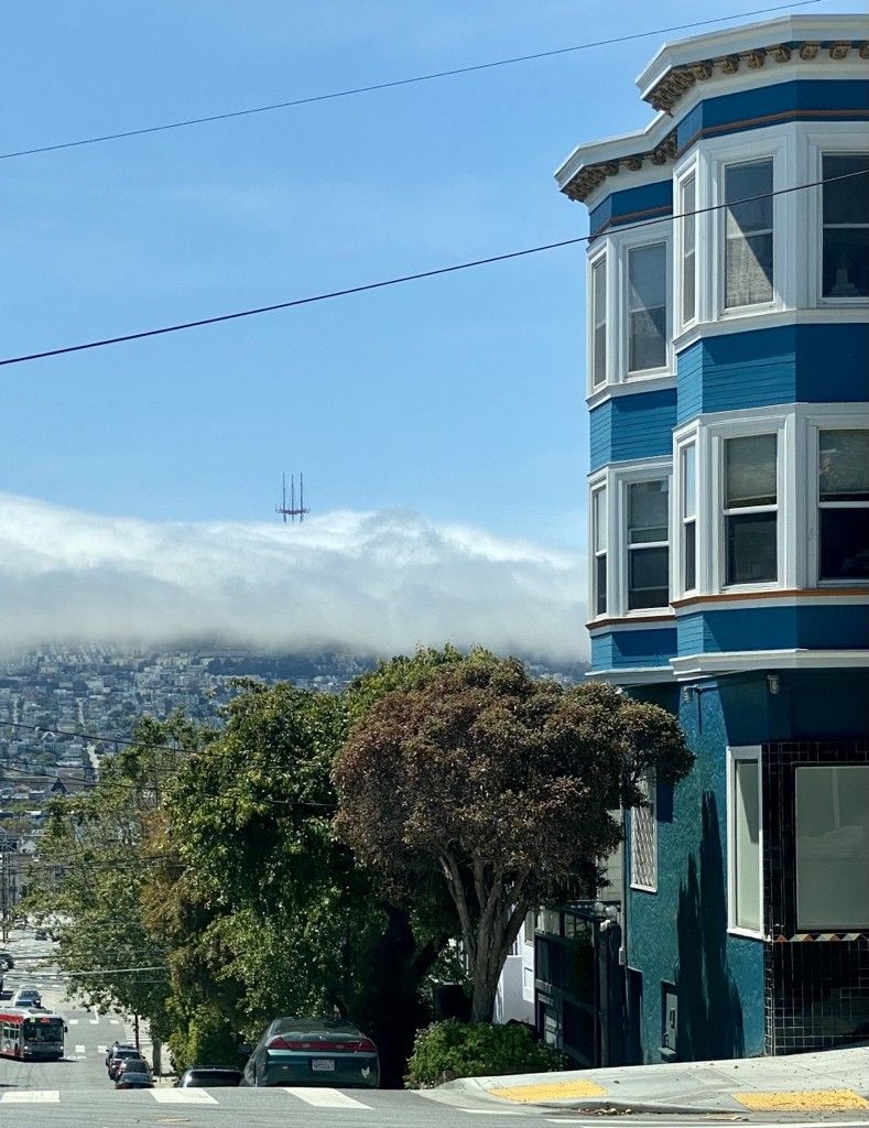
  4. check it out, shadows of the tower in the fog

    also the interior panels seem to have a much fresher coat of orange paint than what we typically see from the rest of the city

    a photograph of a large radio tower, Sutro Tower, in san francisco at a dutch angle with the sun centered opposite, shining through the tower supports with fog throughout. the upper spires of the tower are casting long shadows in the fog

    selfie more or less under the tower of a large radio tower in san francisco, or at least as close as it can be approached without working there

    the tower from the western woods, a very muddy singletrack leads straight away in the bottom left in a green, sun-dappled forest, while the red and white tower looms to the rear in the top right

  5. 🚶🏽‍♂️ 🚶🏽‍♂️ 🚶🏽‍♂️

    🏁 what I’m considering “the rest of Eureka Valley”, Clarendon Heights?, Upper Market, and Midtown Terrace. I’m gonna have to come back for the interior of Laguna Honda.

    I’ve bee consistently pecking away since my last post in April, but for most of them I need to “get there” first which makes it harder to do in the morning. I’d rather bike when I have that much time. Then summer break started, vacations, etc.

    Next idk, maybe Dogpatch and Mission Bay?

    A San Francisco street map centering the area around Twin Peaks, bound by 17th street along the north, Noe St. to the east, Portola to the south, and 9th ave on the west. Surrounding Twin peaks, most streets have a meandering purple GPS path I’ve logged on it, generally completing (in order I walked it) Eureka Valley, Clarendon Heights, Upper Market, and Midtown Terrace.