Here’s how I plot out a potential walk before I go, sometimes: I use CityStride’s map pathing.

Other times, of course, I just wing it. But I’ve been bit by missing a block mid-neighborhood in places before and my sense of completionism drives me to go back, so this helps.

I’m also not completing every citystride “segment” so I ignore that mechanic - it includes a few alleys which aren’t actually open to the public and paths that don’t exist anymore.
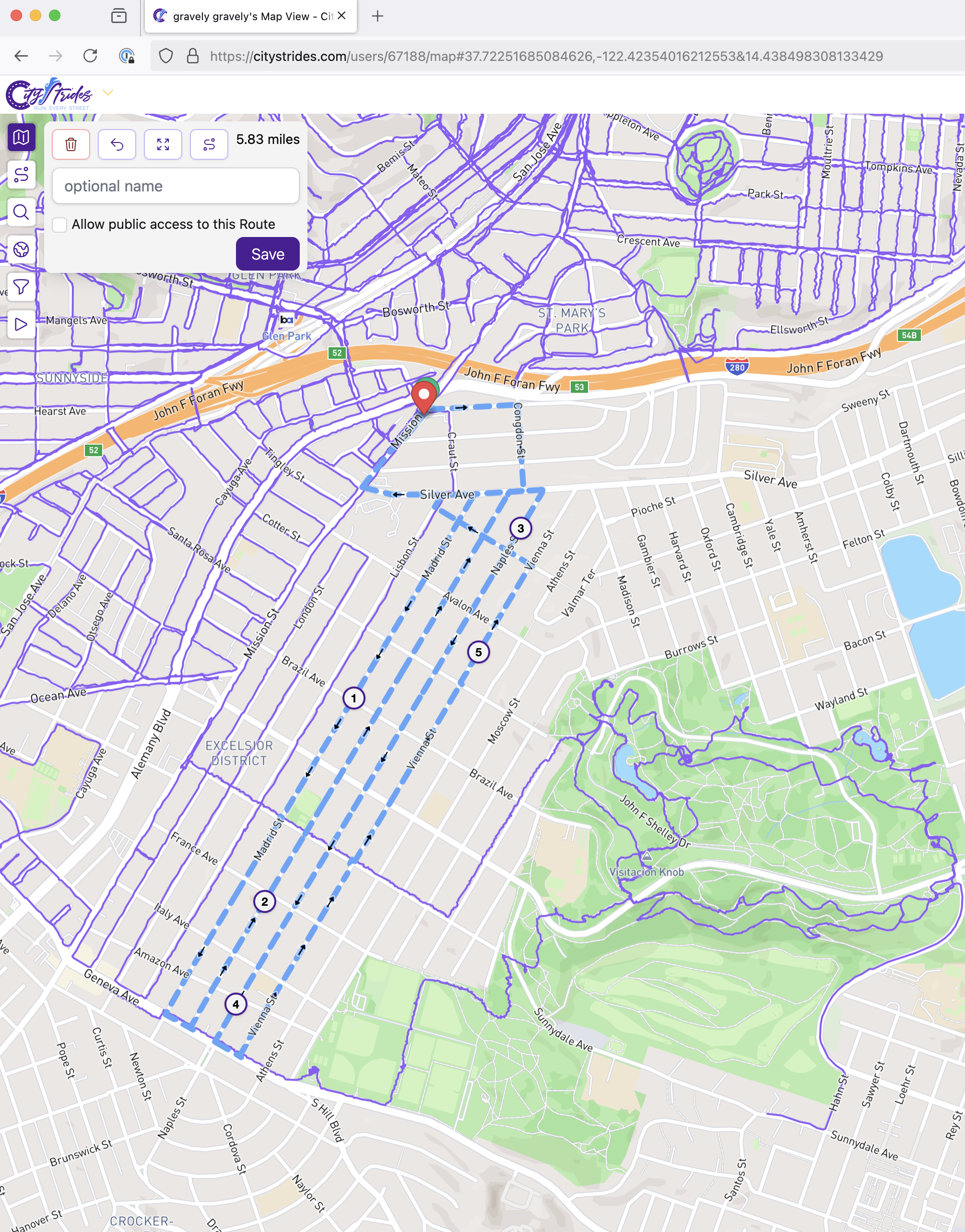
a map of san francisco, ca centering McLaren Park. Holly Park in Bernal Heights is the norther most landmark, and the 280 freeway crosses the map a quarter of the way from the top while the 101 freeway peeks across the top right corner . Every street north of 280 and west of 101 has a purple path over it of a walk I’ve done w/ GPS recording. The paths continue across 101 from Sunnyside and have completed most of the streets between 280 and Alemany. A blue dotted line marks a potential walk I might do this morning through the Excelsior neighborhood after taking a Muni bus south from the Mission where to a stop I’ve used a few times to get to this neighborhood for prior walks. The planned walk is just under 6 miles but I can bail at any time back for a bus home on Mission st.